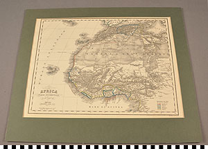
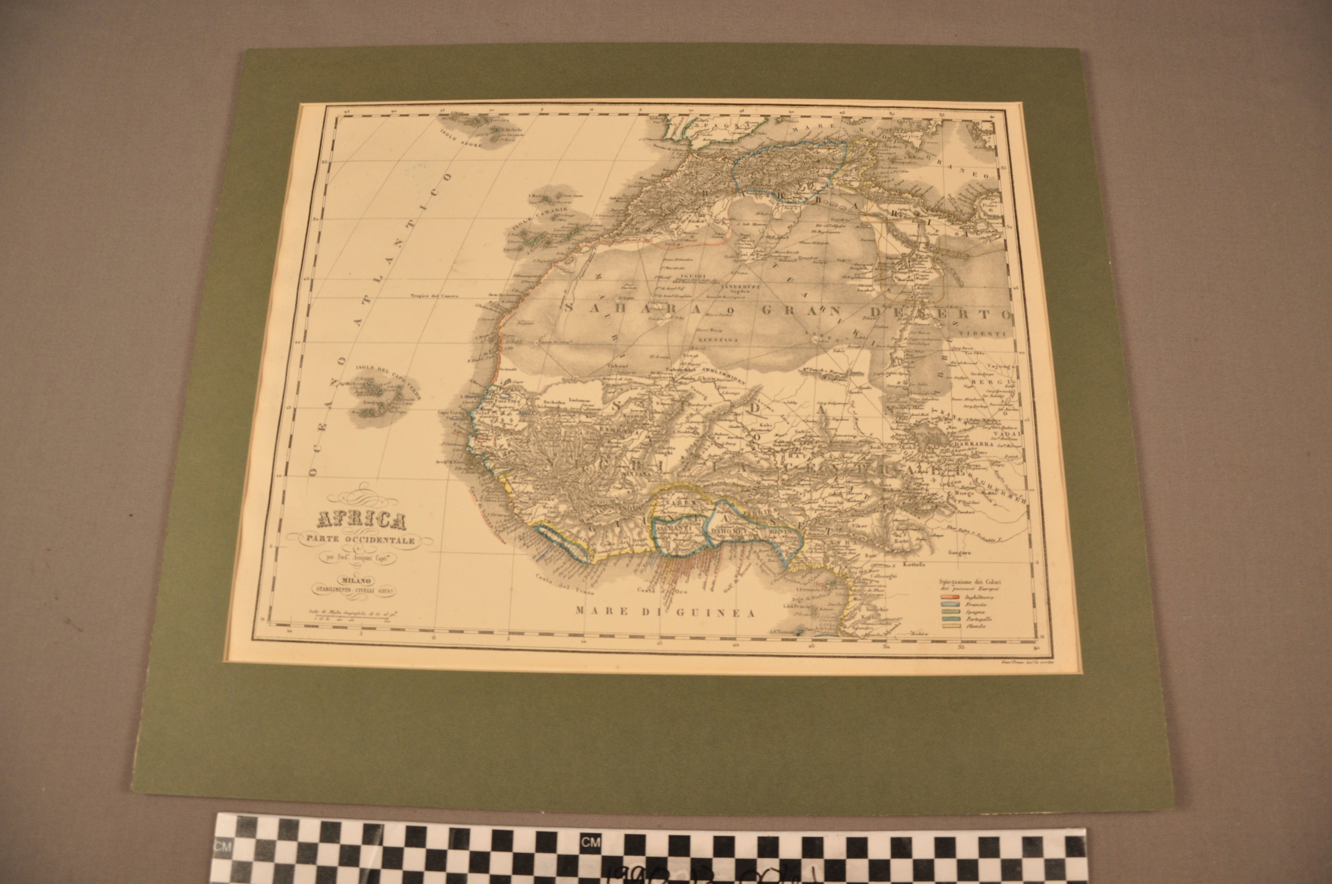
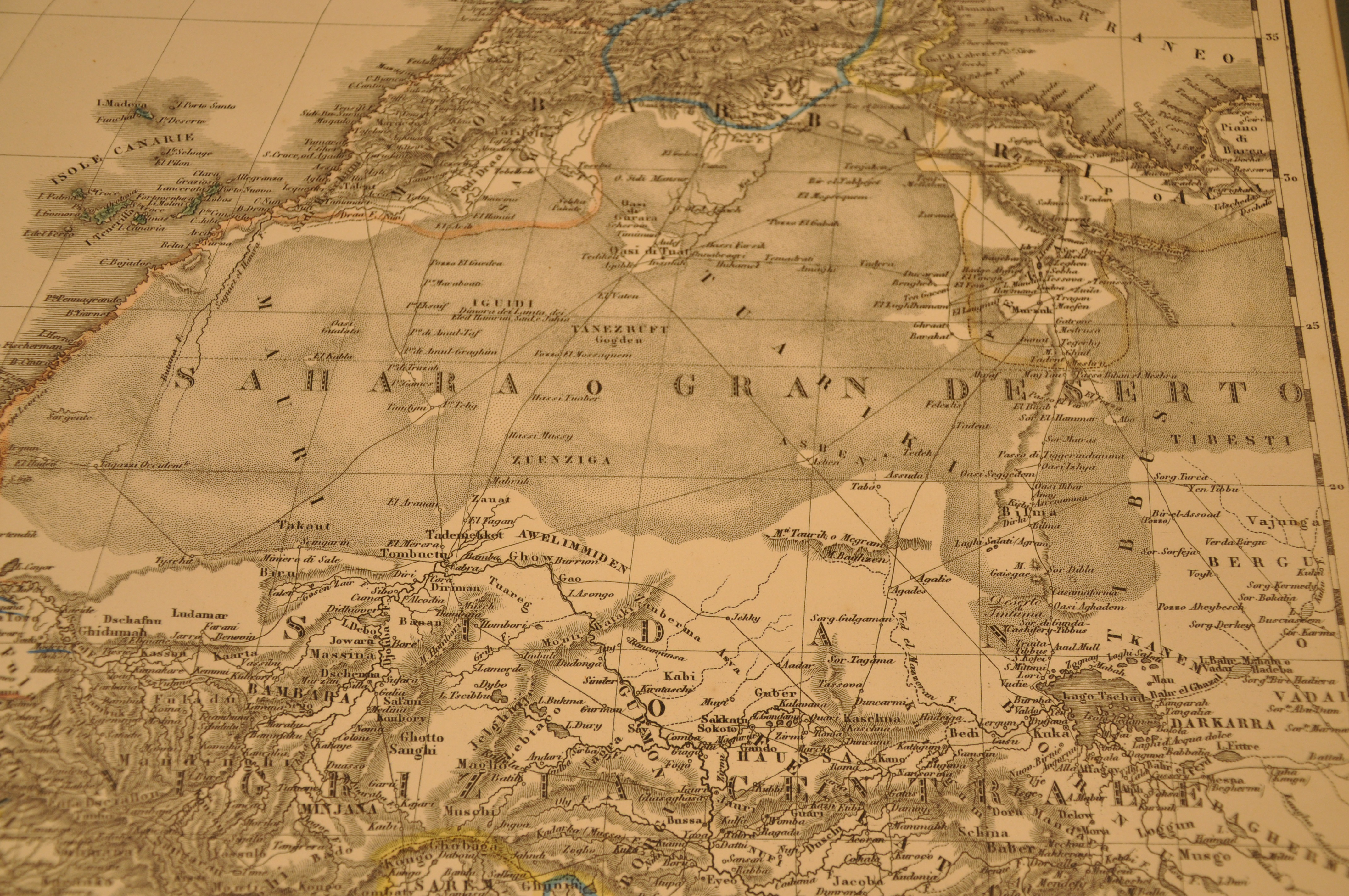
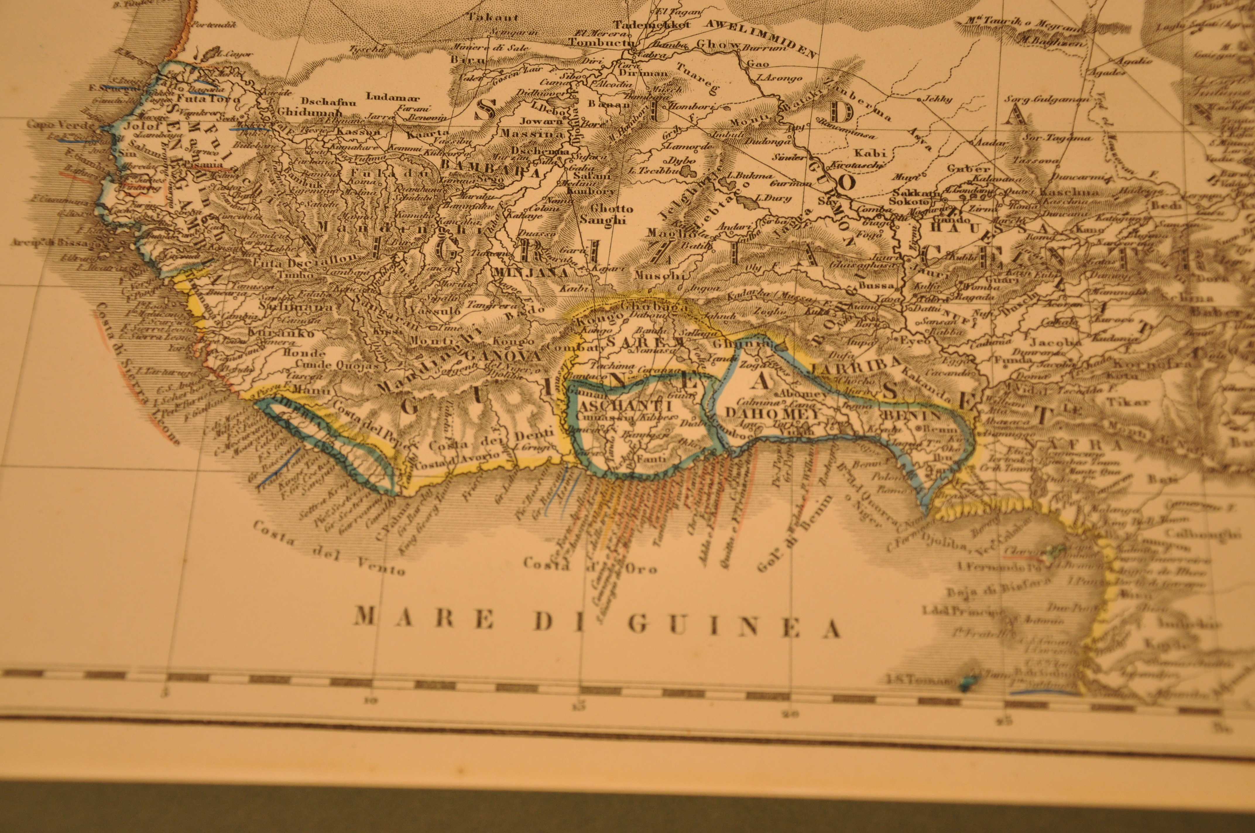
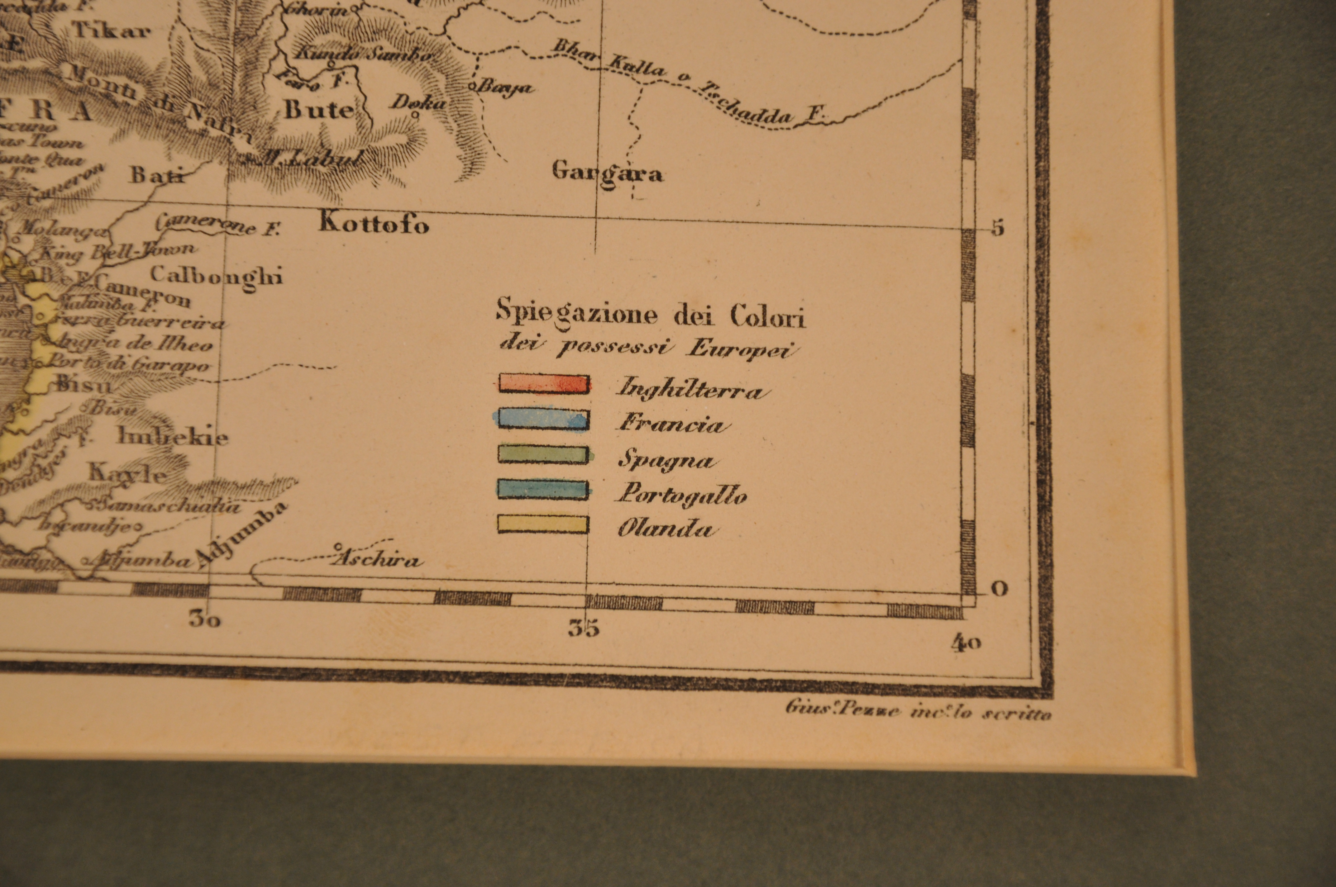
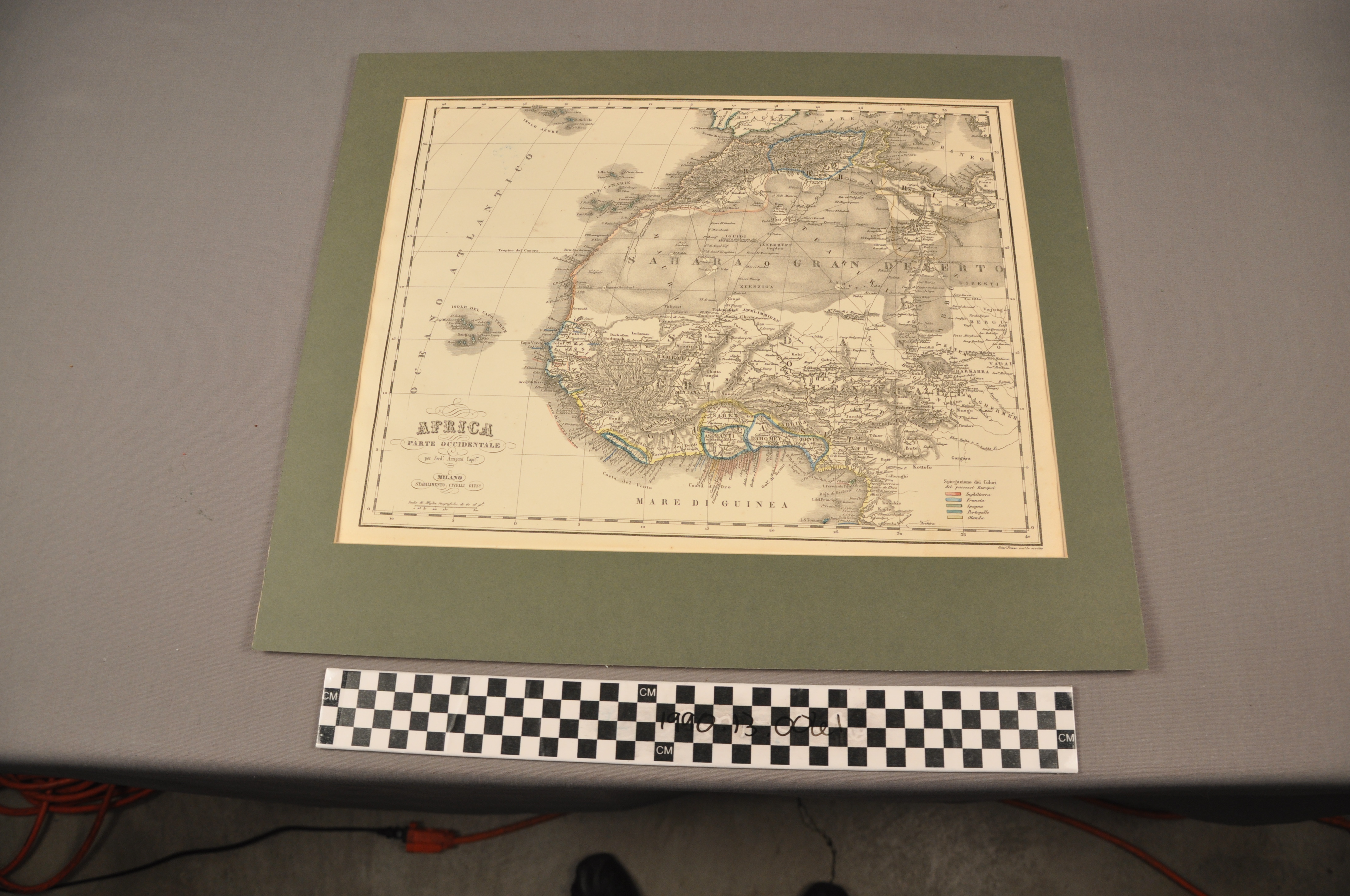
Map: West Africa by Civelli
1990.13.0061
Detailed Images
Basic Information
| Artifact Identification | Map: West Africa by Civelli (1990.13.0061) |
|---|---|
| Classification/ Nomenclature |
|
| Artist/Maker | Civelli, Cartographer |
| Geographic Location | |
| Period/Date | Colonial, 1853 |
| Culture | Italy |
Physical Analysis
| Dimension 1 (Length) | 48.0 cm |
|---|---|
| Dimension 2 (Width) | 41.0 cm |
| Dimension 3 (N/A) | N/A |
| Weight | 255 g |
| Measuring Remarks | Measurements and weight include mount. |
| Materials | Paper--Rag, Pigment--Watercolor |
| Manufacturing Processes | Printed |
| Munsell Color Information | Yellowish White (5 Y 9/2) -ns Black ( N 1.75/) -ns |
Research Remarks
| Published Description | Published 1853. |
|---|---|
| Description | N/A |
| Comparanda | N/A |
| Bibliography | N/A |
Artifact History
| Archaeological Data | N/A |
|---|---|
| Credit Line/Dedication | The Seymour and Muriel Yale Collection of Coins of the Ottoman Empire and Other Middle East States |
| Reproduction | no |
| Reproduction Information | N/A |