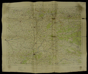
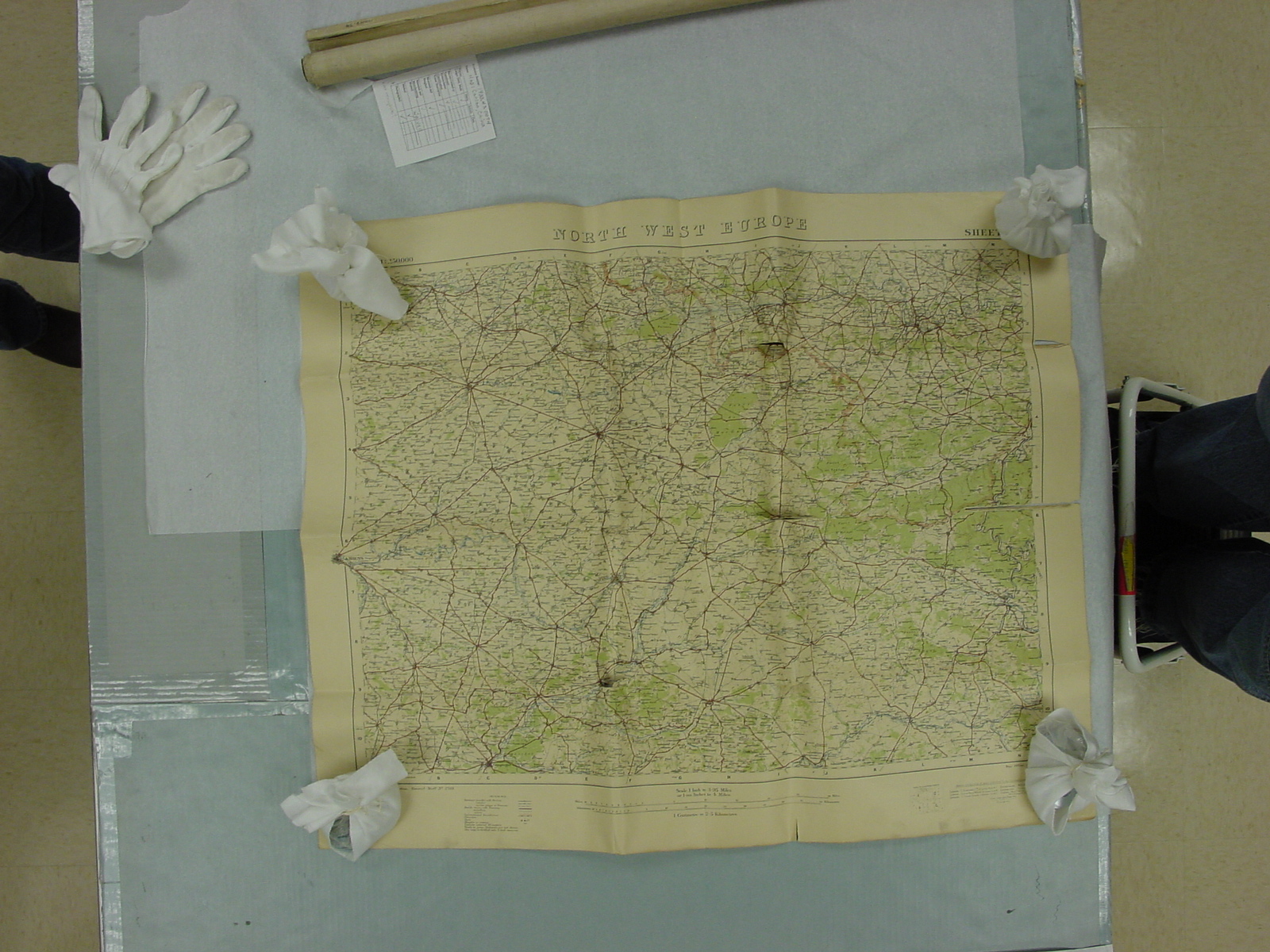
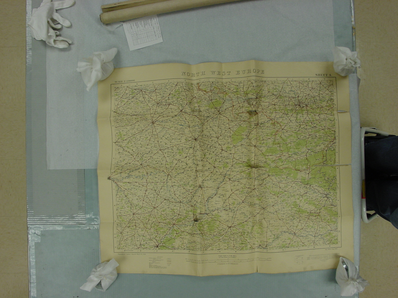
Map: European Front
1900.83.0012C
Detailed Images
Basic Information
| Artifact Identification | Map: European Front (1900.83.0012C) |
|---|---|
| Classification/ Nomenclature |
|
| Artist/Maker | Unknown |
| Geographic Location | |
| Period | World War I |
| Date | 1917 – 1918 |
| Culture | European |
| Location | Not on Exhibit |
Physical Analysis
| Dimension 1 (Width) | 80.0 cm |
|---|---|
| Dimension 2 (Height) | 65.5 cm |
| Dimension 3 (Depth) | <0.1 cm |
| Weight | 92 g |
| Measuring Remarks | Under Review |
| Materials | Paper, Pigment--Ink |
| Manufacturing Processes | Printed |
Research Remarks
| Description | N/A |
|---|---|
| Published Description | N/A |
| Bibliography | Under Review |
Artifact History
| Credit Line/Dedication | Gift of American Ambulance Field Service, University of Illinois Section |
|---|---|
| Reproduction | no |
Contact
All information about our collection is constantly reviewed and updated. Please contact Dery Martínez-Bonilla, Registrar, if there is any information you are looking for that isn't currently online.