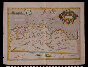
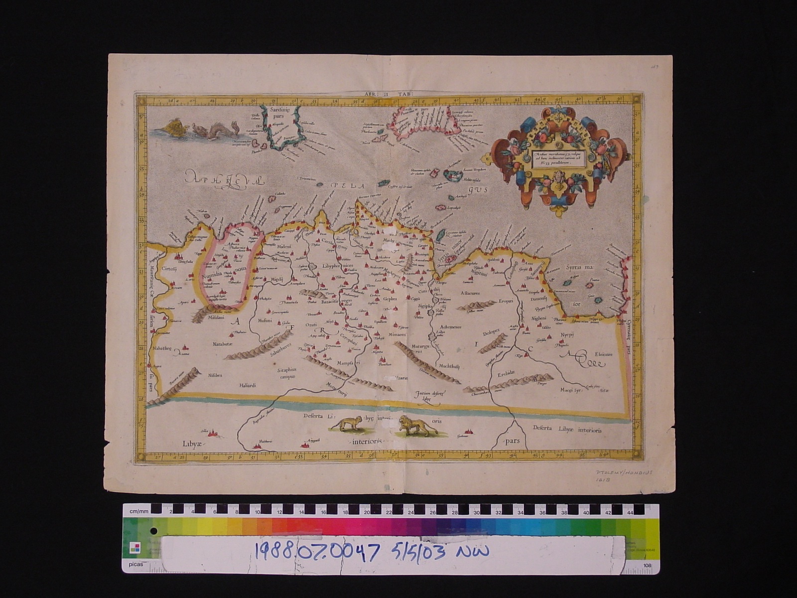
Map: Africae II Tabvla
1988.07.0047
Detailed Images
Basic Information
| Artifact Identification | Map: Africae II Tabvla (1988.07.0047) |
|---|---|
| Classification/ Nomenclature |
|
| Artist/Maker | Bertius, Petrus: Editor (1565-1629) (after) Ptolemy's "Geographia" from Gerard Mercator's 1578 edition maps. Isaac Elzevir: Printer (Leiden) (1596-1615) Jodocus Hondius: Publisher (Amsterdam) (1594/5-1629) |
| Geographic Location | |
| Period | Reformation |
| Date | 1618 |
| Culture | Dutch |
| Location | Not on Exhibit |
Physical Analysis
| Dimension 1 (Width) | 51.6 cm |
|---|---|
| Dimension 2 (Height) | 40.0 cm |
| Dimension 3 (Depth) | <0.1 cm |
| Weight | 24 g |
| Measuring Remarks | N/A |
| Materials | Paper, Pigment |
| Manufacturing Processes | Printed |
Research Remarks
| Description | N/A |
|---|---|
| Published Description | N/A |
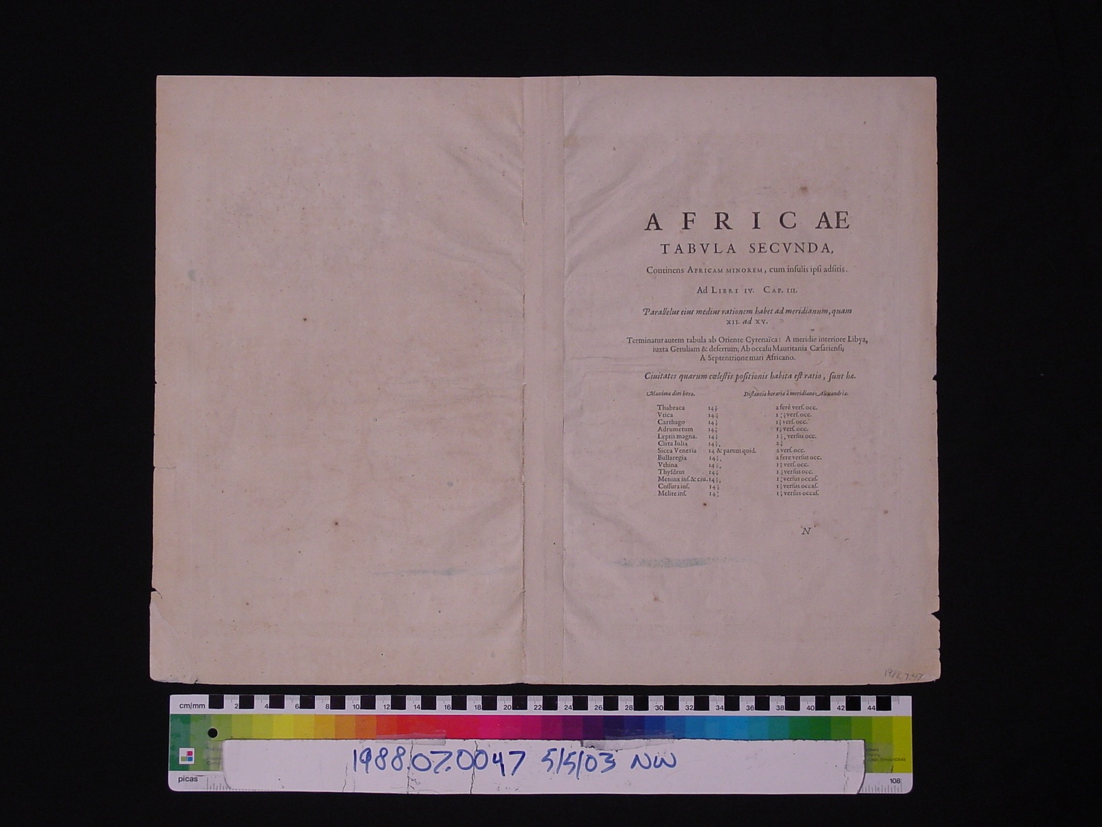
| Bibliography | Newberry Library Cartographic Catalog. Theatrum Geographiae Veteris by Bertius, Ptolemy, Mercator. Amsterdam and Leiden: J. Hondius, 1618. |
Artifact History
| Credit Line/Dedication | The Seymour and Muriel Yale Collection of Coins of the Ottoman Empire and Other Middle East States |
|---|---|
| Reproduction | no |
Contact
All information about our collection is constantly reviewed and updated. Please contact Dery Martínez-Bonilla, Registrar, if there is any information you are looking for that isn't currently online.