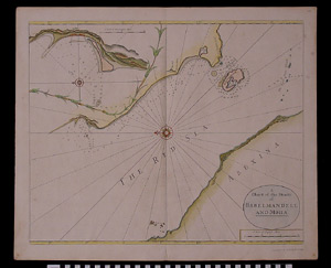
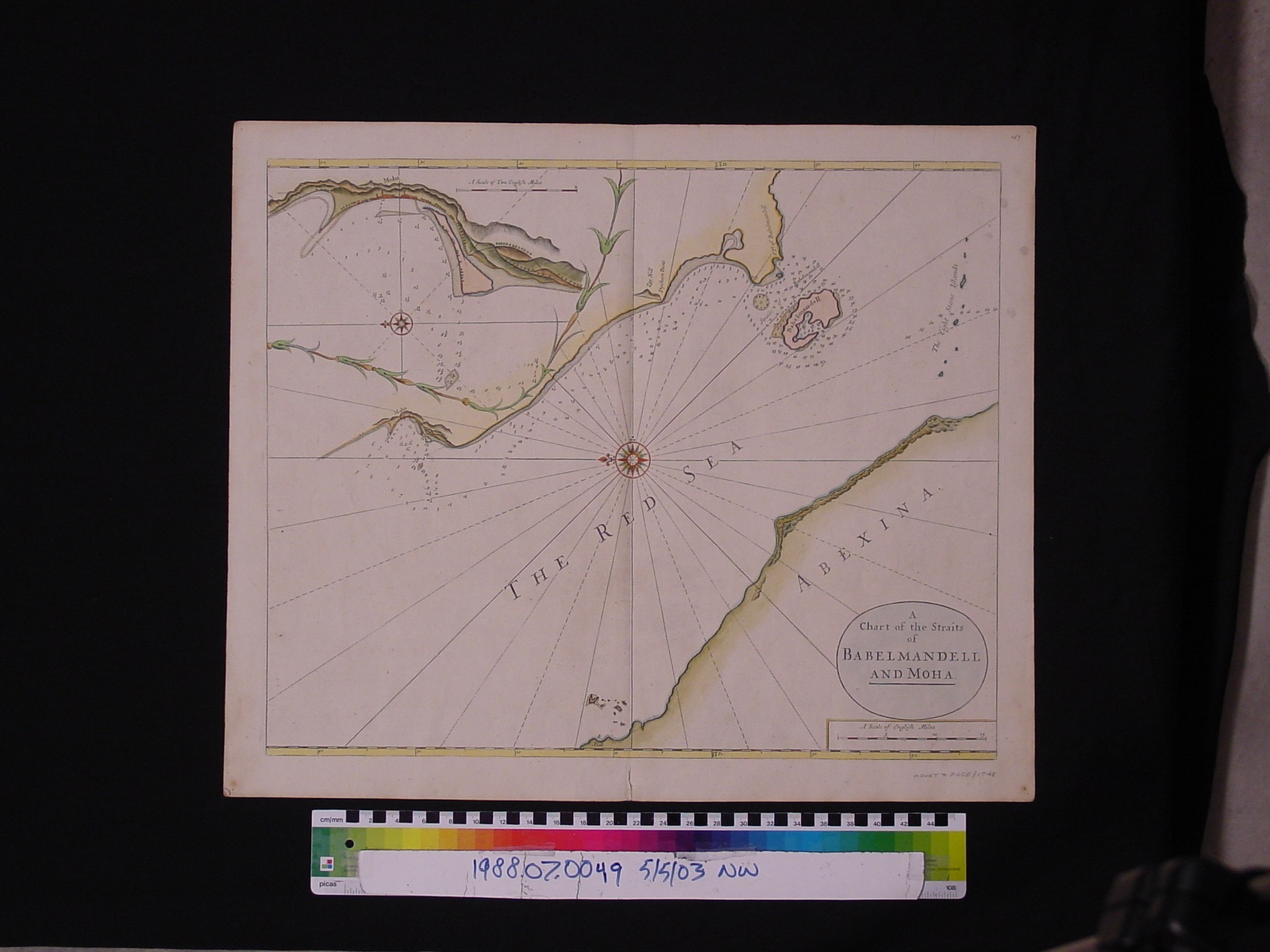
Map: A Chart of the Straits of Babelmandell and Moha
1988.07.0049
Detailed Images
Basic Information
| Artifact Identification | Map: A Chart of the Straits of Babelmandell and Moha (1988.07.0049) |
|---|---|
| Classification/ Nomenclature |
|
| Artist/Maker | Mount, William & Page, Thomas: Publishers (1688-1769), (1704-1762) (after) John Seller (1630-1697), Samuel Thornton (1641-1708), William Fisher (1660-1691) |
| Geographic Location | |
| Period | Georgian |
| Date | 1748 |
| Culture | British, English |
| Location | Not on Exhibit |
Physical Analysis
| Dimension 1 (Width) | 60.6 cm |
|---|---|
| Dimension 2 (Height) | 50.1 cm |
| Dimension 3 (Depth) | <0.1 cm |
| Weight | 56 g |
| Measuring Remarks | N/A |
| Materials | Pigment--Ink, Paper |
| Manufacturing Processes | Hand Coloring, Printing |
Research Remarks
| Description | N/A |
|---|---|
| Published Description | Under Review |
| Bibliography | Phillips, Philip Lee and Clara Egli Le Gear. A List of Geographical Atlases in the Library of Congress, Volume 1.pg. 349. Washington Government Office, 1909. |
Artifact History
| Credit Line/Dedication | The Seymour and Muriel Yale Collection of Coins of the Ottoman Empire and Other Middle East States |
|---|---|
| Reproduction | no |
Contact
All information about our collection is constantly reviewed and updated. Please contact Dery Martínez-Bonilla, Registrar, if there is any information you are looking for that isn't currently online.