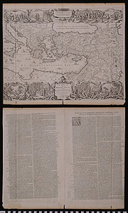
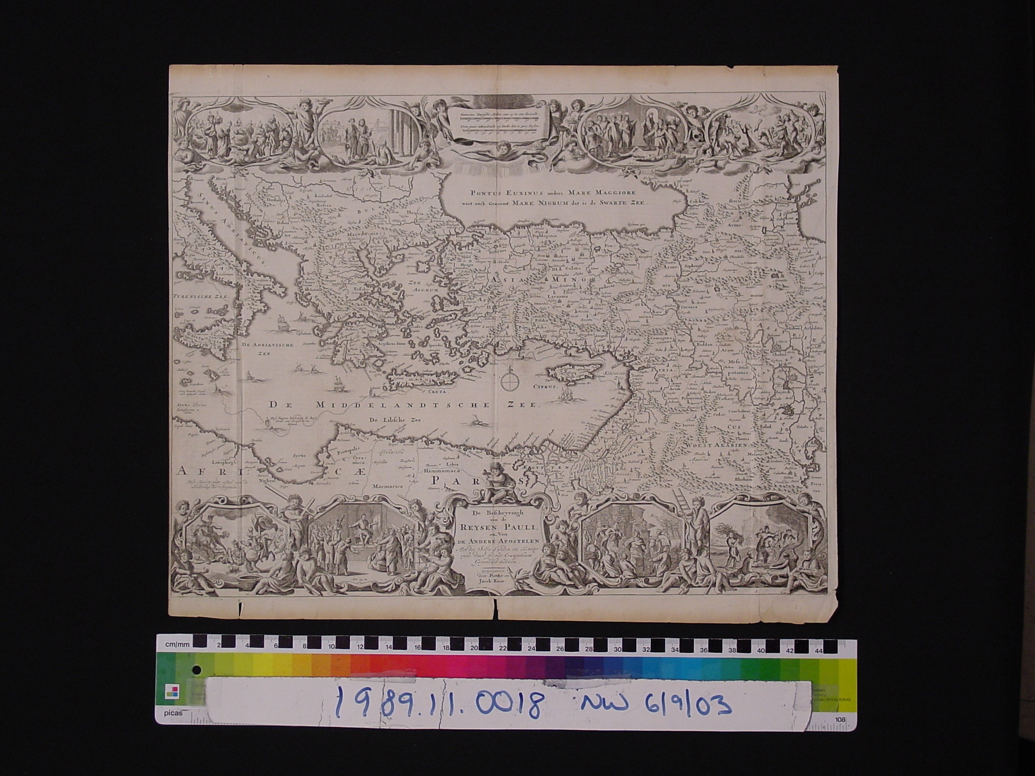
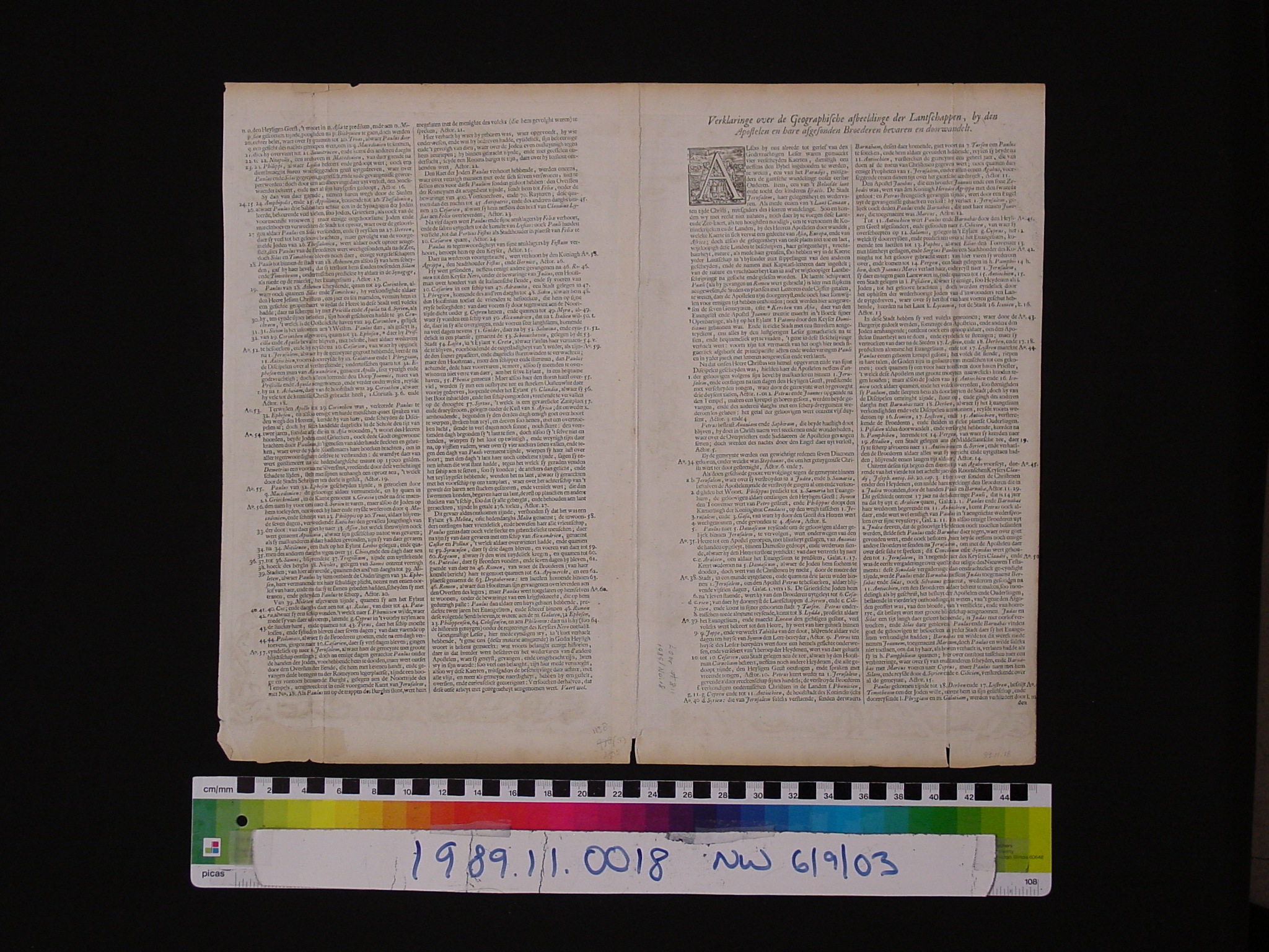
Map: De Beschryvingh van de Reysen Pauli en van de Andere Apostelen
1989.11.0018
Detailed Images
Basic Information
| Artifact Identification | Map: De Beschryvingh van de Reysen Pauli en van de Andere Apostelen (1989.11.0018) |
|---|---|
| Classification/ Nomenclature |
|
| Artist/Maker | Pieter and Jacob Keur: Publishers Daniel Stoopendaal: re-engraved Visscher maps (1672-1726) (after) Nicolas Visscher 3 generations (I: 1587-1652, II: 1618-1657, III: 1649-1709) |
| Geographic Location | |
| Period | N/A |
| Date | 1702 CE |
| Culture | Dutch |
| Location | Not on Exhibit |
Physical Analysis
| Dimension 1 (N/A) | 46.2 cm |
|---|---|
| Dimension 2 (N/A) | 38.6 cm |
| Dimension 3 (N/A) | N/A |
| Weight | 16 g |
| Measuring Remarks | N/A |
| Materials | Paper--rag, Pigment--ink |
| Manufacturing Processes | Printed |
Research Remarks
| Description | N/A |
|---|---|
| Published Description | Under Review |
| Bibliography | Laor, Eran. Maps of the Holy Land: Cartobibliography of Printed Maps, 1475-1900. New York: A. R. Liss, 1986. Catalog #811 |
Artifact History
| Credit Line/Dedication | The Seymour and Muriel Yale Collection of Coins of the Ottoman Empire and Other Middle East States |
|---|---|
| Reproduction | No |
Contact
All information about our collection is constantly reviewed and updated. Please contact Dery Martínez-Bonilla, Registrar, if there is any information you are looking for that isn't currently online.