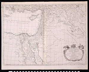
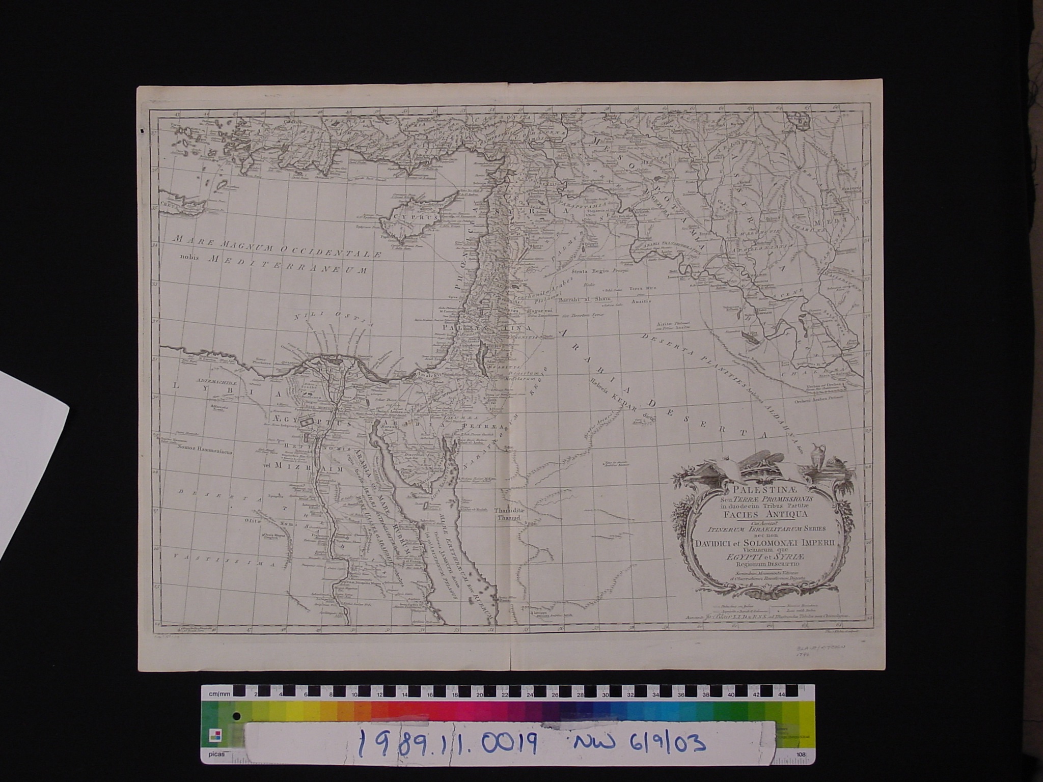
Map: Palestinae Seu Terrae Promissionis
1989.11.0019
Detailed Images
Basic Information
| Artifact Identification | Map: Palestinae Seu Terrae Promissionis (1989.11.0019) |
|---|---|
| Classification/ Nomenclature |
|
| Artist/Maker | Blaire, John: Author (1722-1782) Thomas Kitchin: Engraver (d. 1784) |
| Geographic Location | |
| Period | N/A |
| Date | 1790 CE |
| Culture | European |
| Location | Not on Exhibit |
Physical Analysis
| Dimension 1 (Width) | 59.5 cm |
|---|---|
| Dimension 2 (Height) | 46.8 cm |
| Dimension 3 (Depth) | <0.1 cm |
| Weight | 43 g |
| Measuring Remarks | N/A |
| Materials | Paper--rag, Pigment--ink |
| Manufacturing Processes | Printed |
Research Remarks
| Description | N/A |
|---|---|
| Published Description | Under Review |
| Bibliography | Laor, Eran. Maps of the Holy Land: Cartobibliography of Printed Maps, 1475-1900. New York: A. R. Liss, 1986. Catalog #108. |
Artifact History
| Credit Line/Dedication | The Seymour and Muriel Yale Collection of Coins of the Ottoman Empire and Other Middle East States |
|---|---|
| Reproduction | no |
Contact
All information about our collection is constantly reviewed and updated. Please contact Dery Martínez-Bonilla, Registrar, if there is any information you are looking for that isn't currently online.