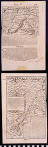
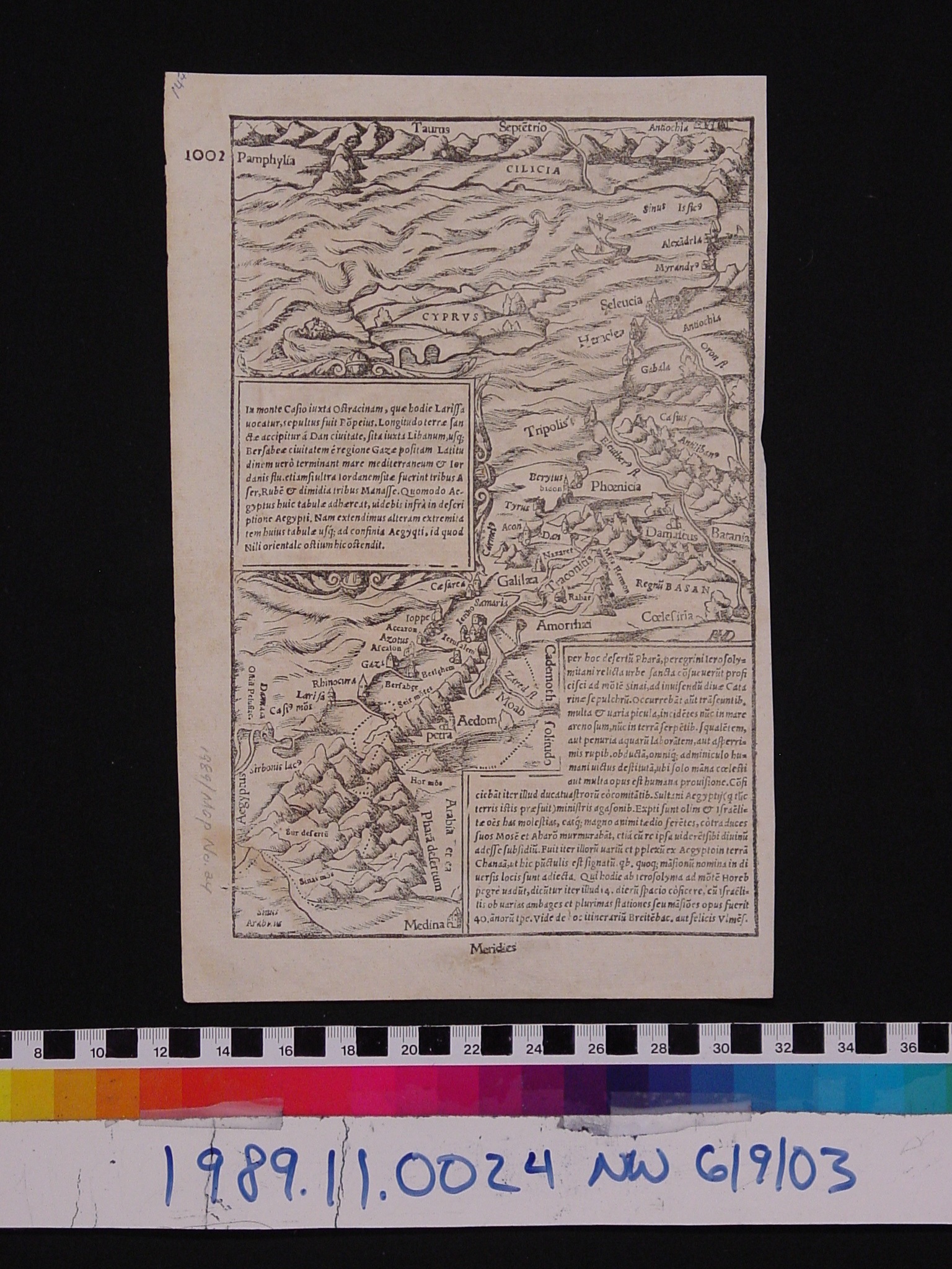
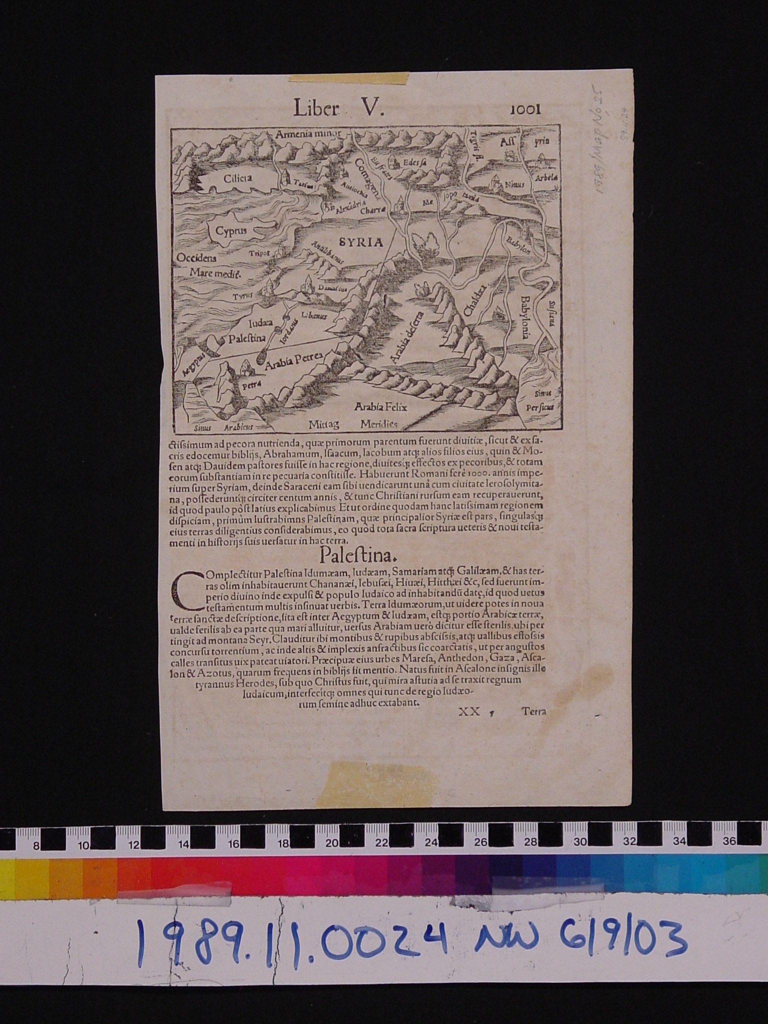
Map: Syria & Palestina
1989.11.0024
Detailed Images
Basic Information
| Artifact Identification | Map: Syria & Palestina (1989.11.0024) |
|---|---|
| Classification/ Nomenclature |
|
| Artist/Maker | Munster, Sebastian (1488-1552) Heinrich Petri: Publisher |
| Geographic Location | |
| Period | Renaissance |
| Date | 1559 CE |
| Culture | Swiss |
| Location | Not on Exhibit |
Physical Analysis
| Dimension 1 (N/A) | 29.60 cm |
|---|---|
| Dimension 2 (N/A) | 19.00 cm |
| Dimension 3 (N/A) | N/A |
| Weight | 3.0 g |
| Measuring Remarks | N/A |
| Materials | Paper--rag, Pigment--ink |
| Manufacturing Processes | Printed |
Research Remarks
| Description | N/A |
|---|---|
| Published Description | Under Review |
| Bibliography | Encyclopedia Britannica Micropedia. Volume VII. P.104. "Munster, Sebastian." (1989 or earlier edition) |
Artifact History
| Credit Line/Dedication | The Seymour and Muriel Yale Collection of Coins of the Ottoman Empire and Other Middle East States |
|---|---|
| Reproduction | no |
Contact
All information about our collection is constantly reviewed and updated. Please contact Dery Martínez-Bonilla, Registrar, if there is any information you are looking for that isn't currently online.