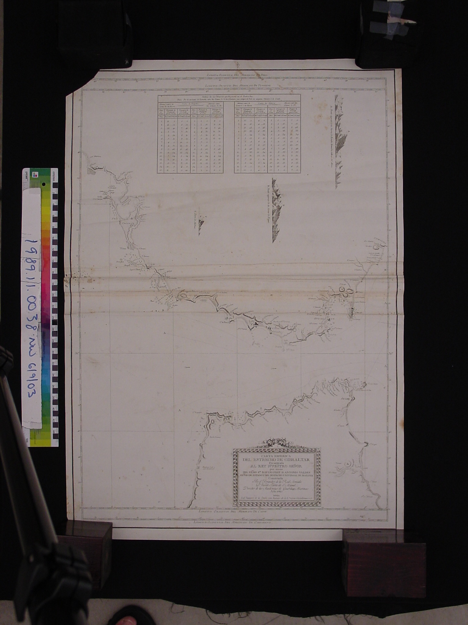
Map: Carta Esferica Del Estracho de Gibraltar
1989.11.0038
Detailed Images
Basic Information
| Artifact Identification | Map: Carta Esferica Del Estracho de Gibraltar (1989.11.0038) |
|---|---|
| Classification/ Nomenclature |
|
| Artist/Maker | Don Vincente Tofiño de San Miguel: Cartographer (1732-1795) Joachin ( Joaqui`n ) Ballester: Engraver (1741-1795) Josef Assensio: wrote/created ? (1759-c.1820) Spanish Armada Real: Publisher |
| Geographic Location | |
| Period | N/A |
| Date | 1786 CE |
| Culture | Spanish |
| Location | Not on Exhibit |
Physical Analysis
| Dimension 1 (Length) | 83.5 cm |
|---|---|
| Dimension 2 (Width) | 59.1 cm |
| Dimension 3 (N/A) | N/A |
| Weight | N/A |
| Measuring Remarks | N/A |
| Materials | Paper--rag, Pigment--ink |
| Manufacturing Processes | Printed |
Research Remarks
| Description | N/A |
|---|---|
| Published Description | N/A |
| Bibliography | Tofino de San Miguel, Vincente. Atlas Maritimo de Espana. Madrid: 1786. |
Artifact History
| Credit Line/Dedication | The Seymour and Muriel Yale Collection of Coins of the Ottoman Empire and Other Middle East States |
|---|---|
| Reproduction | no |
Contact
All information about our collection is constantly reviewed and updated. Please contact Dery Martínez-Bonilla, Registrar, if there is any information you are looking for that isn't currently online.