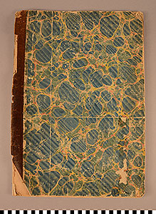
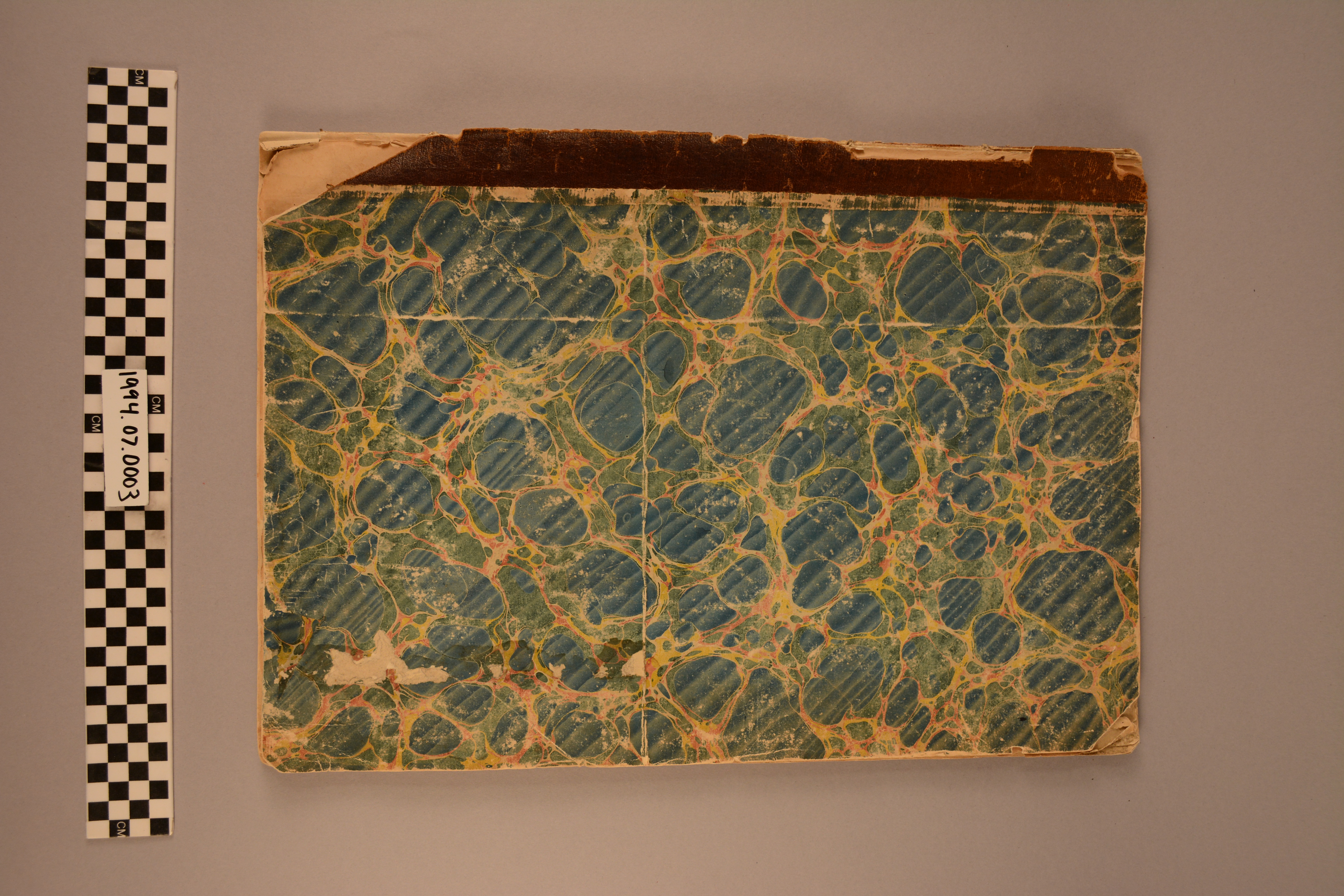
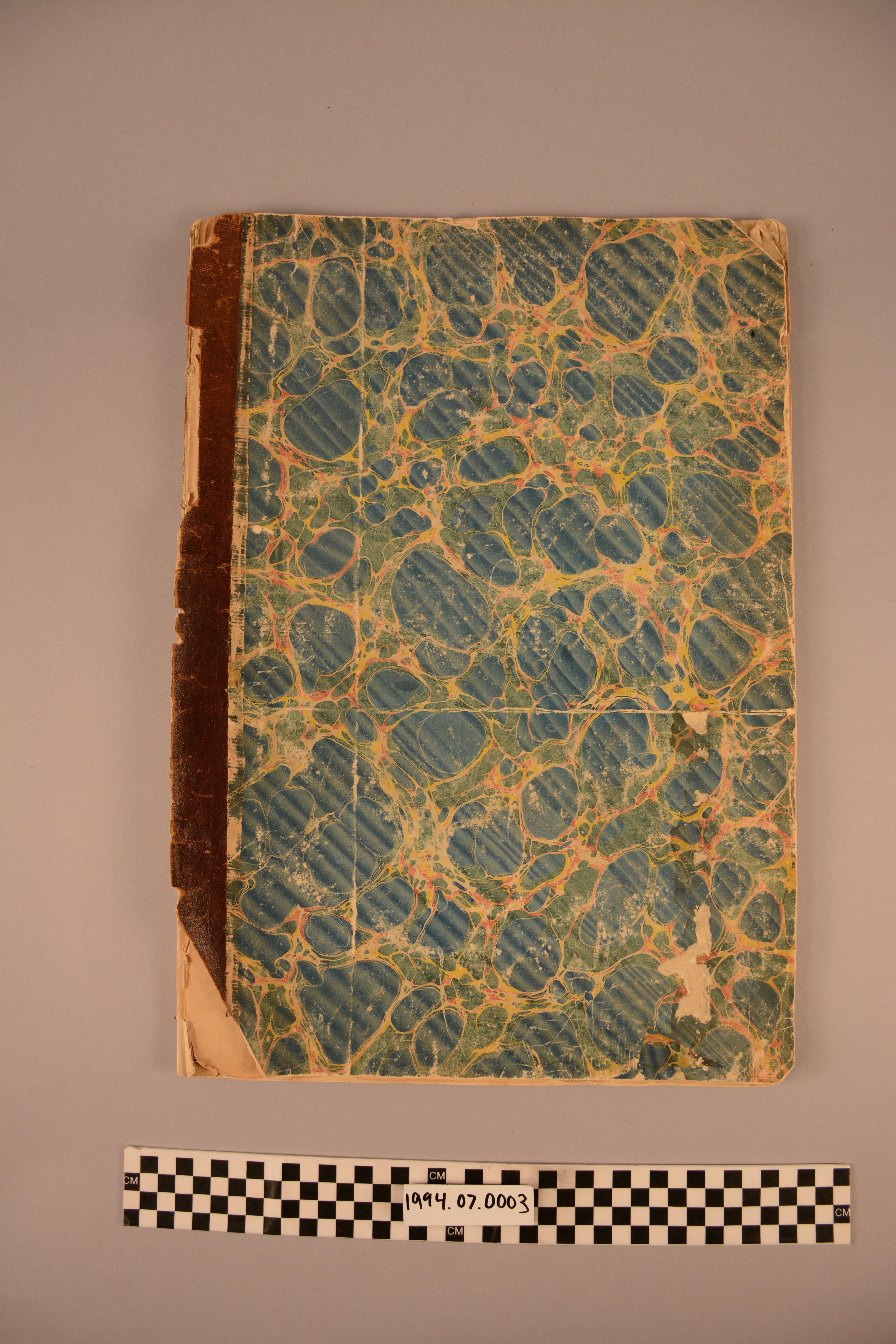
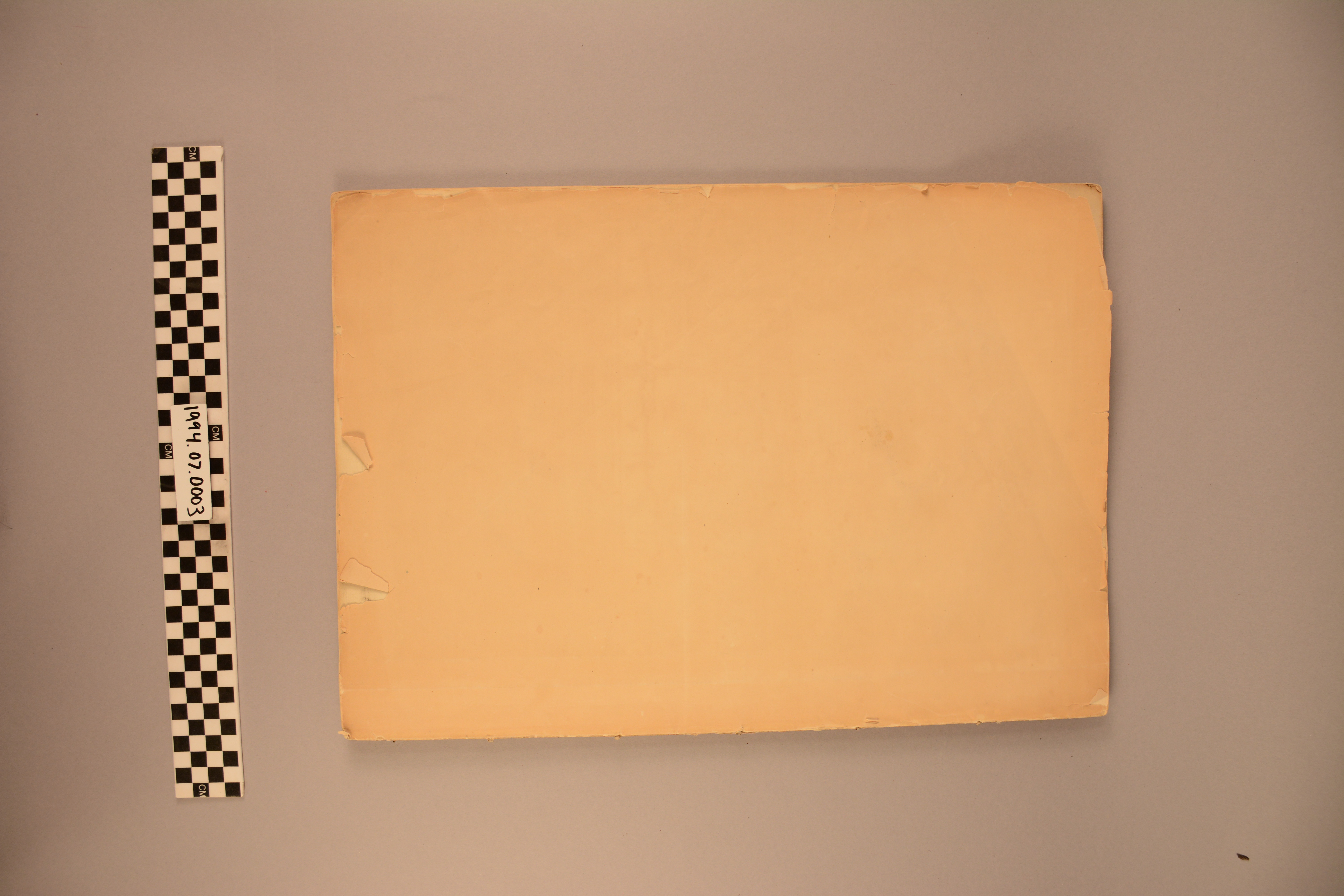
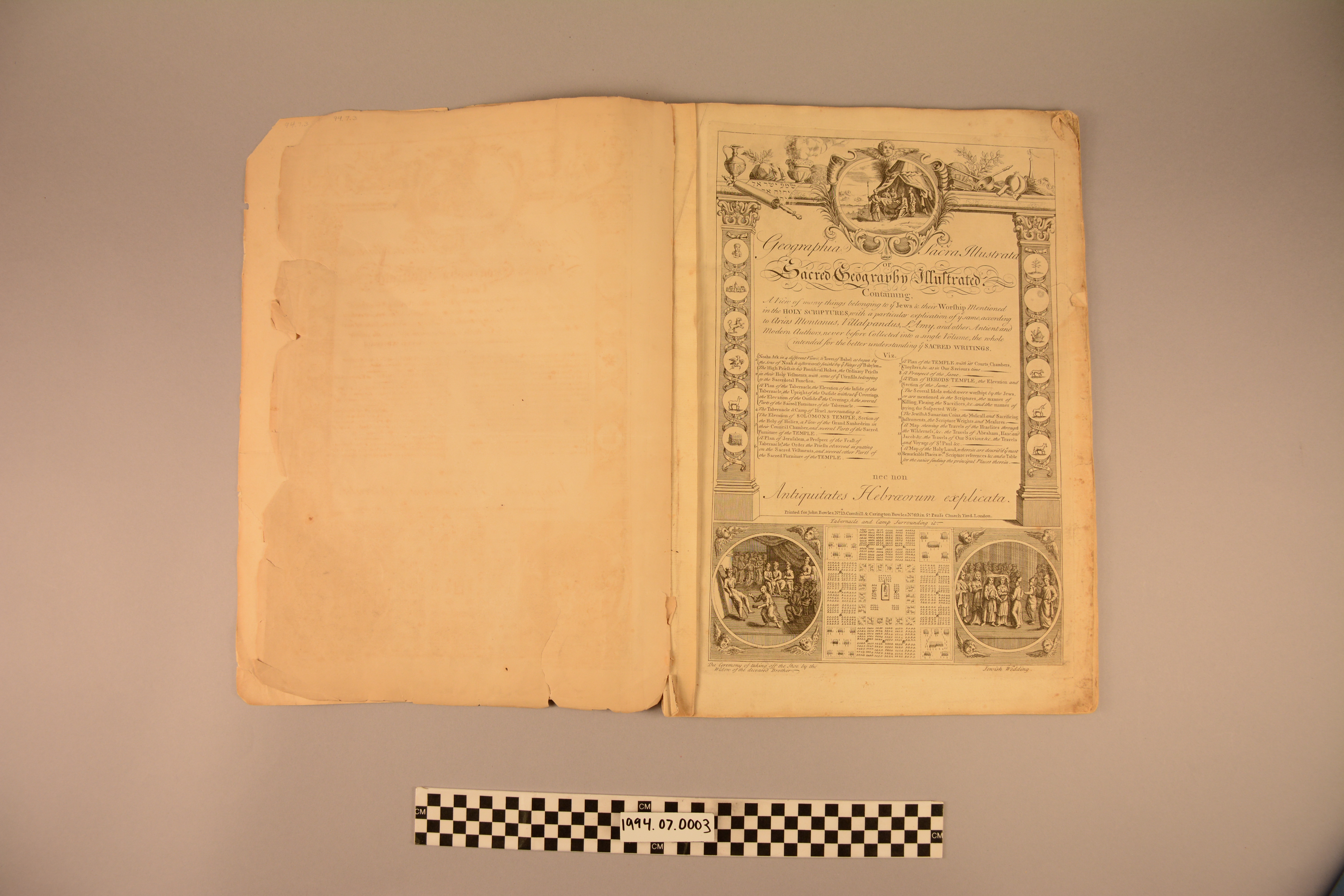
Book with Maps: Sacred Geography
1994.07.0003
Detailed Images
Basic Information
| Artifact Identification | Book with Maps: Sacred Geography (1994.07.0003) |
|---|---|
| Classification/ Nomenclature |
|
| Artist/Maker | Printed for John Bowles, London. |
| Geographic Location | |
| Period | N/A |
| Date | Late 18th century |
| Culture | British, English |
| Location | Not on Exhibit |
Physical Analysis
| Dimension 1 (Height) | 47.5 cm |
|---|---|
| Dimension 2 (Width) | 33.3 cm |
| Dimension 3 (Depth) | 1.5 cm |
| Weight | 640 g |
| Measuring Remarks | N/A |
| Materials | Textile--Cotton, Plant--Fiber, Plant--Cotton, Animal--Skin--without Fur/Feathers/Scales, Pigment--Ink, Paper |
| Manufacturing Processes | Engraved, Printed |
Research Remarks
| Description | N/A |
|---|---|
| Published Description | N/A |
| Bibliography | Under Review |
Artifact History
| Credit Line/Dedication | Gift of Mrs. Demitri Shimkin |
|---|---|
| Reproduction | no |
Contact
All information about our collection is constantly reviewed and updated. Please contact Dery Martínez-Bonilla, Registrar, if there is any information you are looking for that isn't currently online.