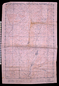
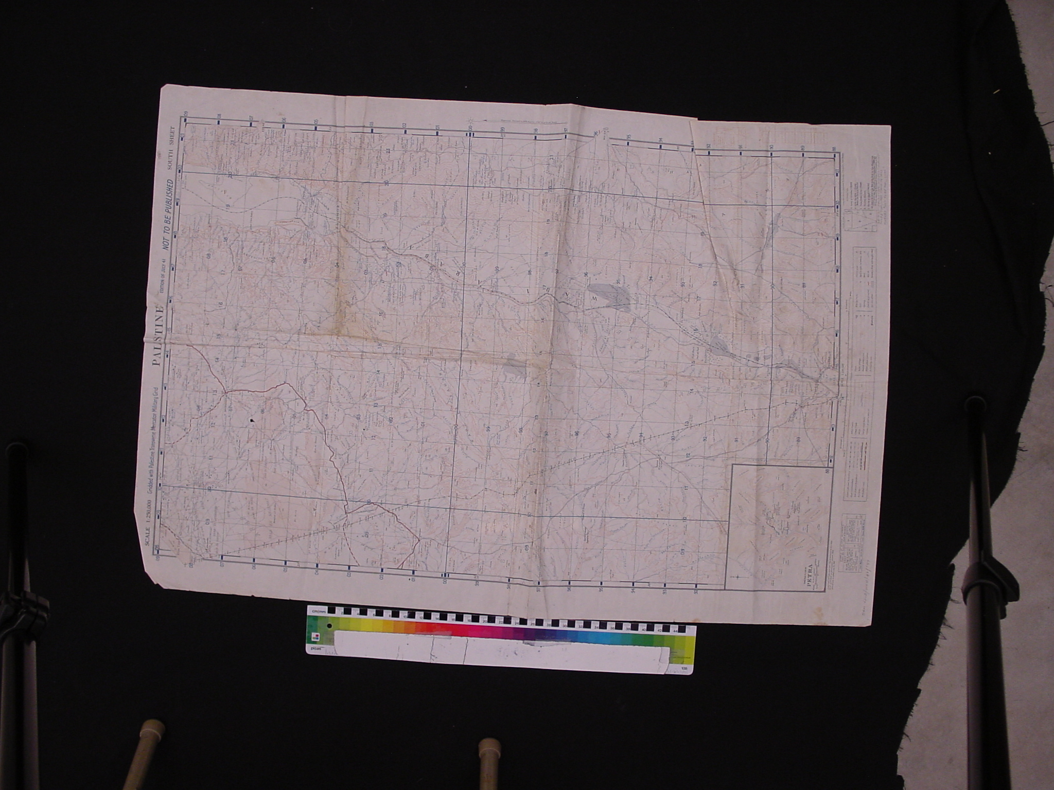
Map: Palestine and Petra
1997.11.0033
Detailed Images
Basic Information
| Artifact Identification | Map: Palestine and Petra (1997.11.0033) |
|---|---|
| Classification/ Nomenclature |
|
| Artist/Maker | World War II. British military survey map prepared by Geological Section P. W. D. of Palestine and Trans-Jordan. |
| Geographic Location | |
| Period | World War II |
| Date | 1941 |
| Culture | British, English |
| Location | Not on Exhibit |
Physical Analysis
| Dimension 1 (Height) | 93.7 cm |
|---|---|
| Dimension 2 (Width) | 63.0 cm |
| Dimension 3 (Depth) | <0.1 cm |
| Weight | 51 g |
| Measuring Remarks | N/A |
| Materials | Paper, Pigment--Ink |
| Manufacturing Processes | Printed |
Research Remarks
| Description | N/A |
|---|---|
| Published Description | N/A |
| Bibliography | Under Review |
Artifact History
| Credit Line/Dedication | The Seymour and Muriel Yale Collection of Coins of the Ottoman Empire and Other Middle East States |
|---|---|
| Reproduction | No |
Contact
All information about our collection is constantly reviewed and updated. Please contact Dery Martínez-Bonilla, Registrar, if there is any information you are looking for that isn't currently online.