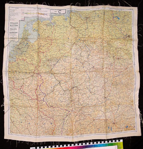
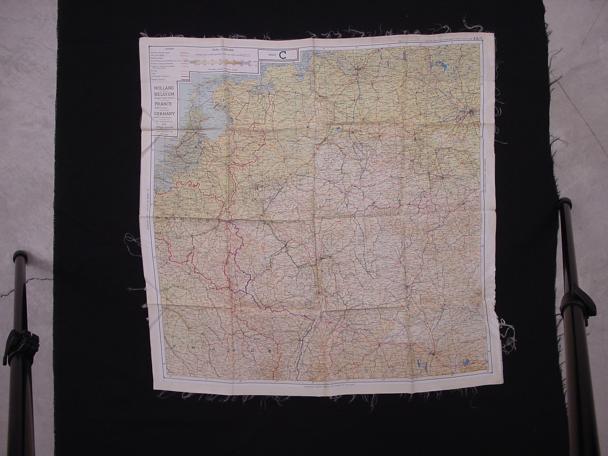
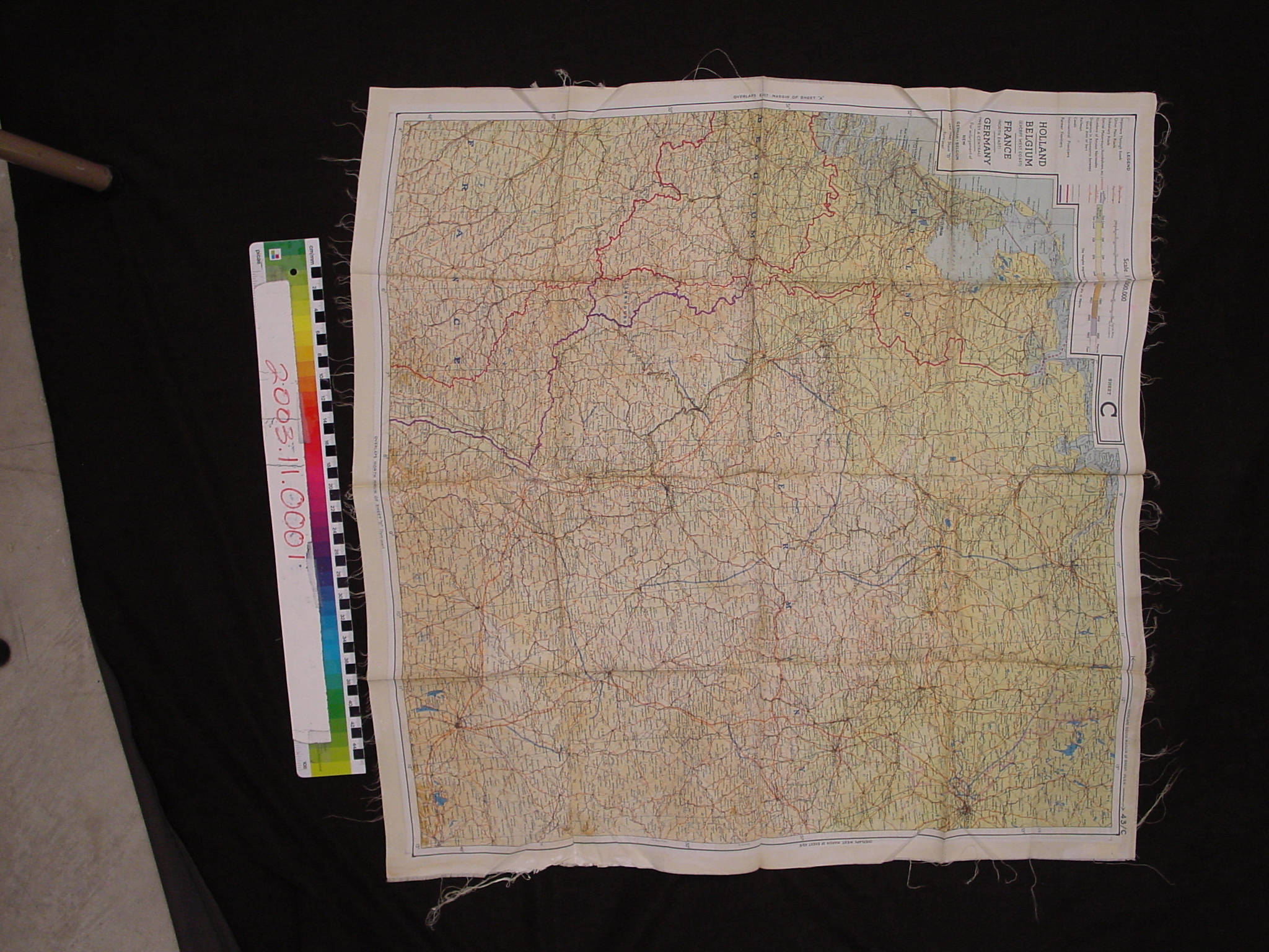
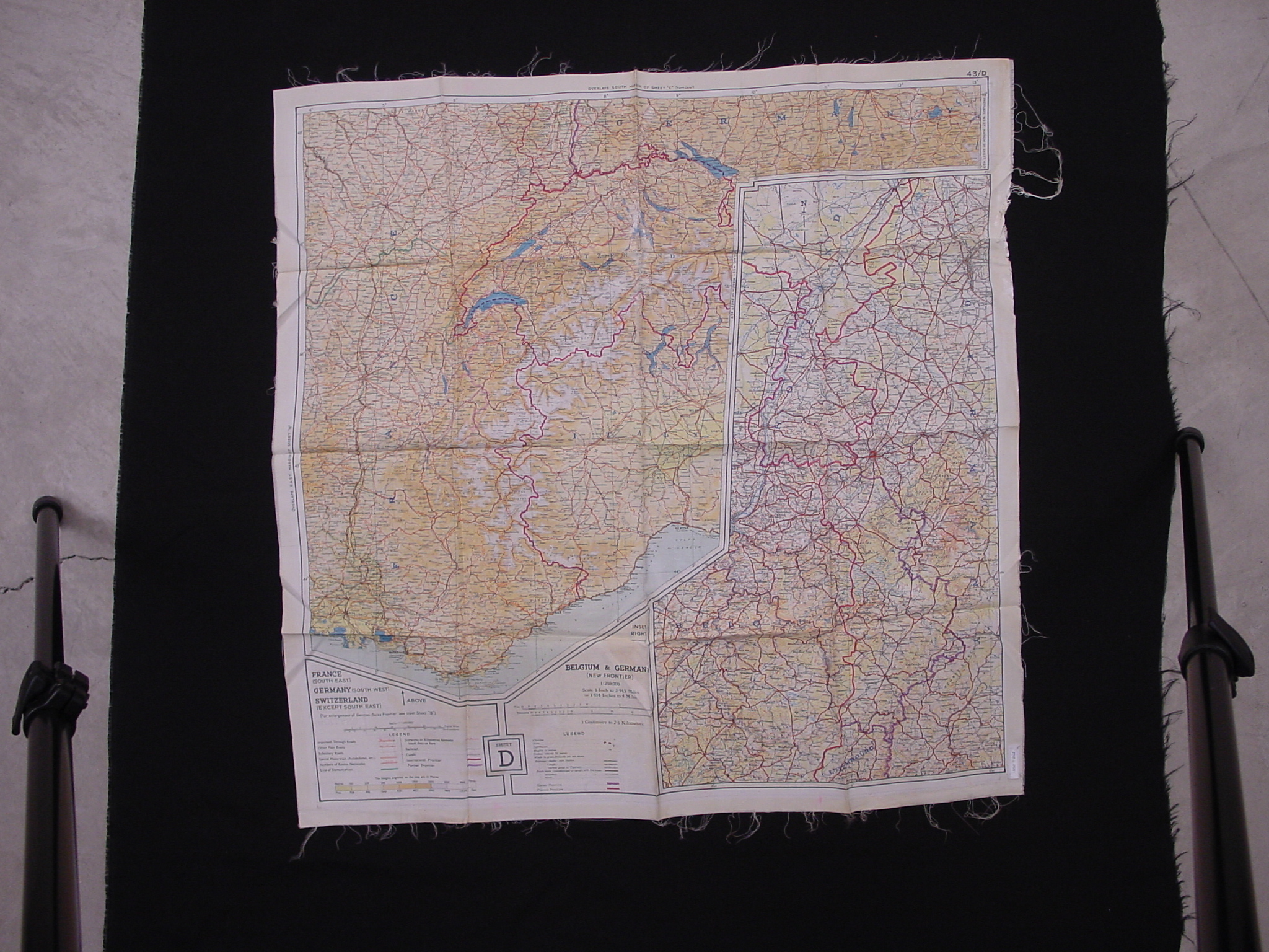
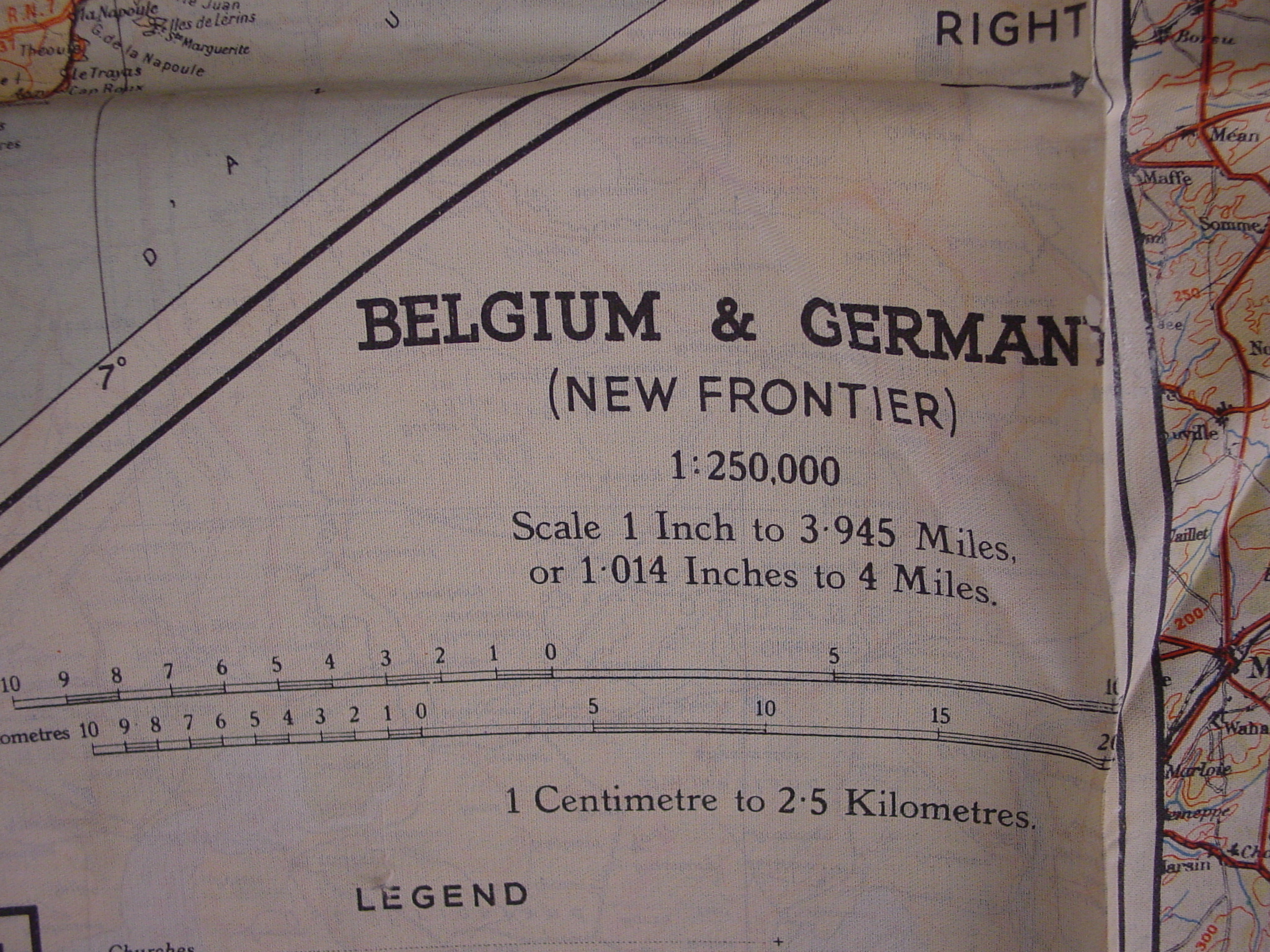
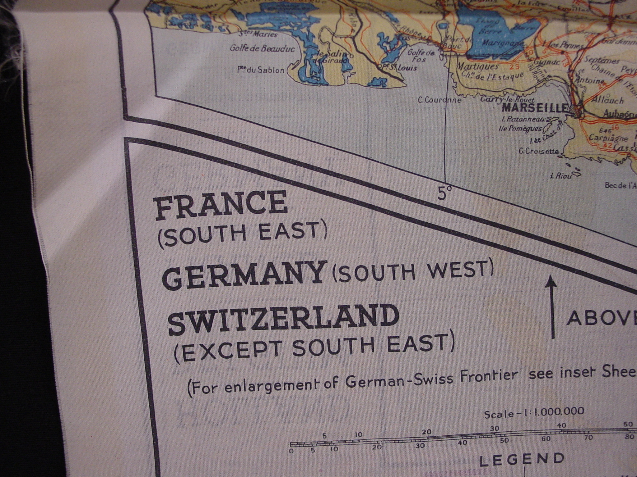
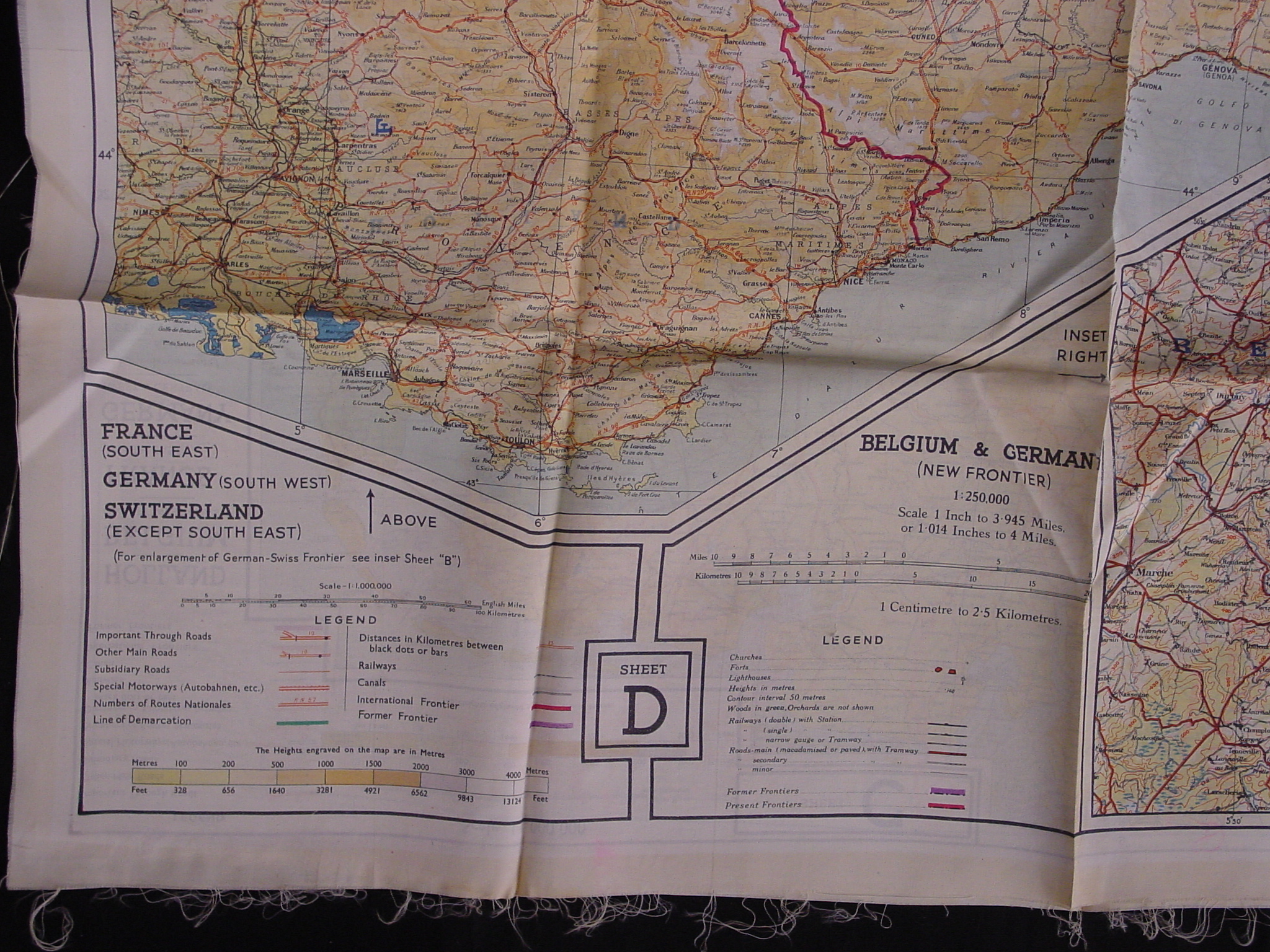
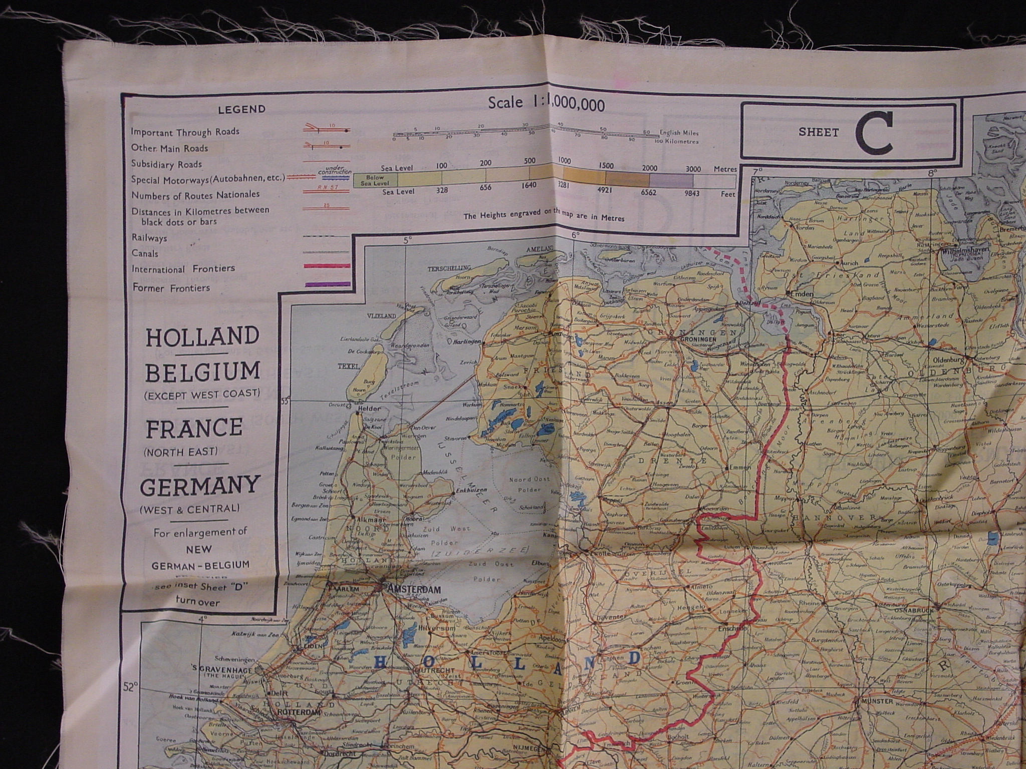
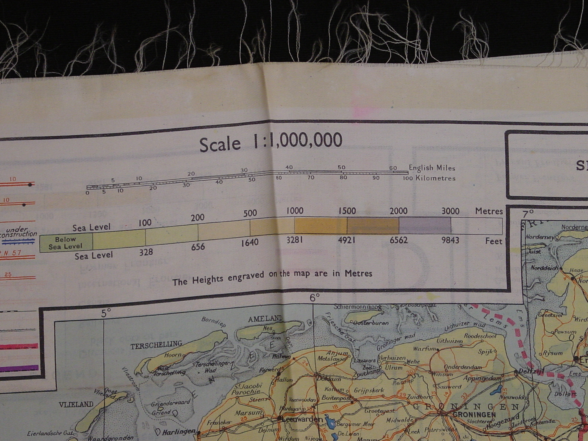
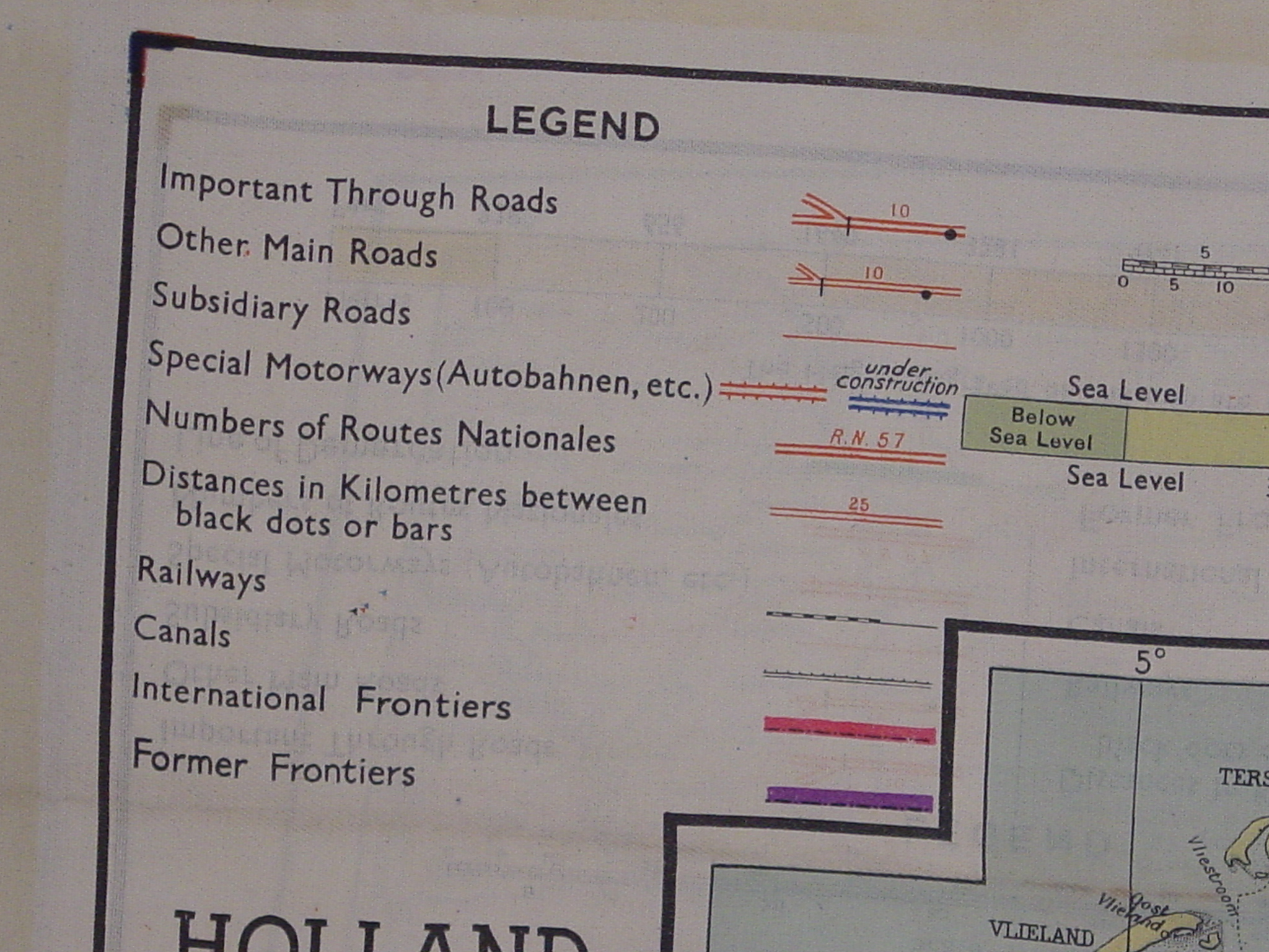
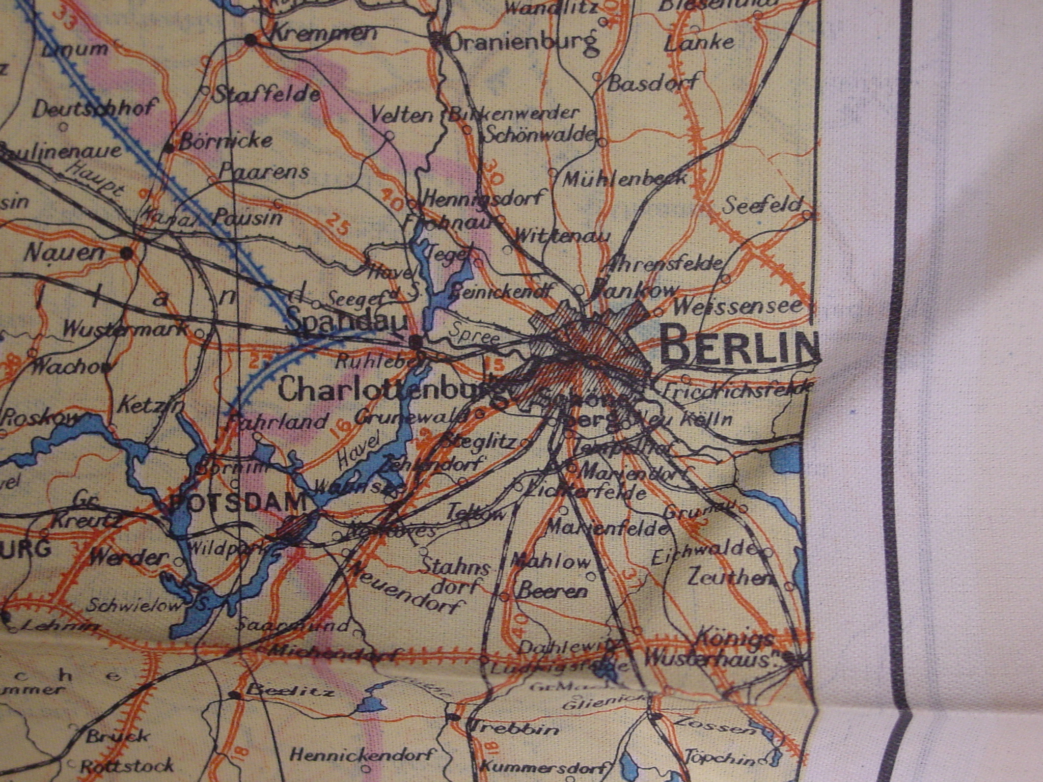
Map: Military Intelligence Overlap Map of France, Belgium, Holland and Germany
2003.11.0001
Detailed Images
Basic Information
| Artifact Identification | Map: Military Intelligence Overlap Map of France, Belgium, Holland and Germany (2003.11.0001) |
|---|---|
| Classification/ Nomenclature |
|
| Artist/Maker | Unknown |
| Geographic Location | |
| Period | World War II |
| Date | 1939-1945, 1943 |
| Culture | N/A |
| Location | Not on Exhibit |
Physical Analysis
| Dimension 1 (Length) | 76 cm |
|---|---|
| Dimension 2 (Width) | 76 cm |
| Dimension 3 (N/A) | N/A |
| Weight | 39 g |
| Measuring Remarks | N/A |
| Materials | Textile, Textile--Silk |
| Manufacturing Processes | Printing, Weaving |
Research Remarks
| Description | N/A |
|---|---|
| Published Description | Under Review |
| Bibliography | Baldwin, R.E. 'Silk Escape Maps: Where are they now?' Mercator's World, January/February 1988, 50-51. |
Artifact History
| Credit Line/Dedication | N/A |
|---|---|
| Reproduction | No |
Contact
All information about our collection is constantly reviewed and updated. Please contact Dery Martínez-Bonilla, Registrar, if there is any information you are looking for that isn't currently online.