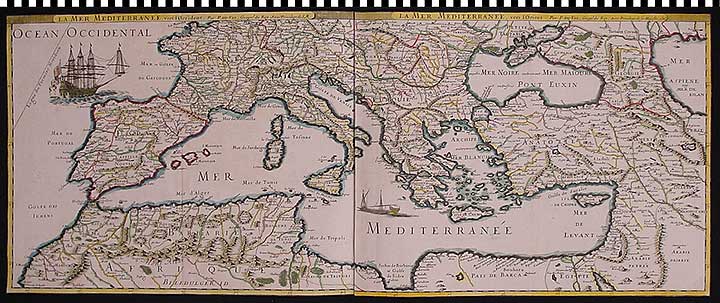
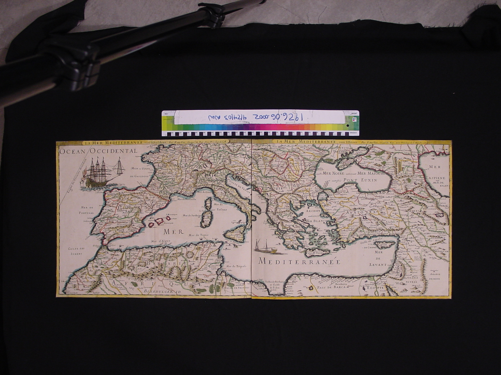
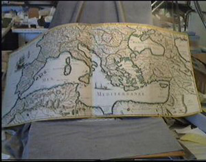
Map: Mediterranean Basin
1926.06.0001
Detailed Images
Basic Information
| Artifact Identification | Map: Mediterranean Basin (1926.06.0001) |
|---|---|
| Classification/ Nomenclature |
|
| Artist/Maker | duval, p. |
| Geographic Location | |
| Period | Late Baroque |
| Date | 1686 |
| Culture | French |
| Location | Not on Exhibit |
Physical Analysis
| Dimension 1 (Width) | 99.0 cm |
|---|---|
| Dimension 2 (Height) | 39.5 cm |
| Dimension 3 (Depth) | <0.1 cm |
| Weight | 49 g |
| Measuring Remarks | Under Review |
| Materials | Paper, Pigment--ink |
| Manufacturing Processes | Printing, Papermaking, Painting |
Research Remarks
| Description | N/A |
|---|---|
| Published Description | Under Review |
| Bibliography | Under Review |
Artifact History
| Credit Line/Dedication | Purchase |
|---|---|
| Reproduction | no |
Contact
All information about our collection is constantly reviewed and updated. Please contact Dery Martínez-Bonilla, Registrar, if there is any information you are looking for that isn't currently online.