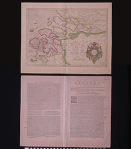
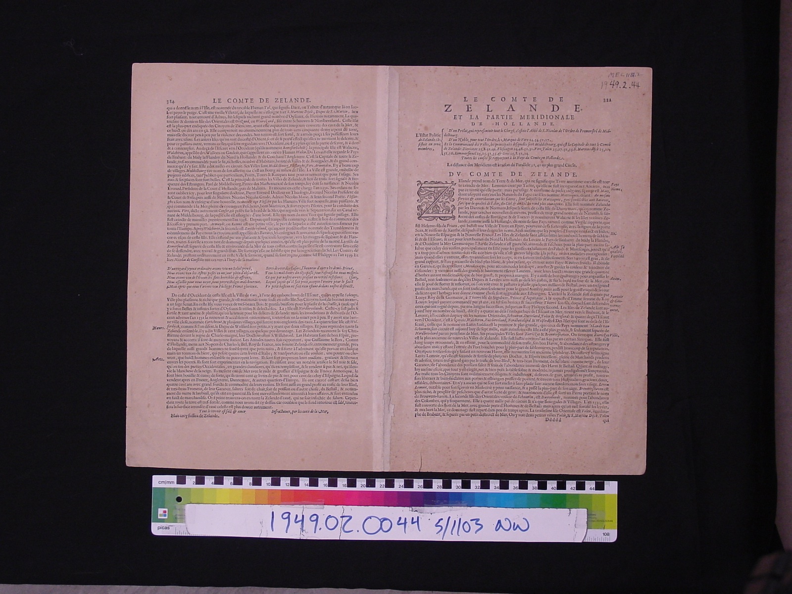
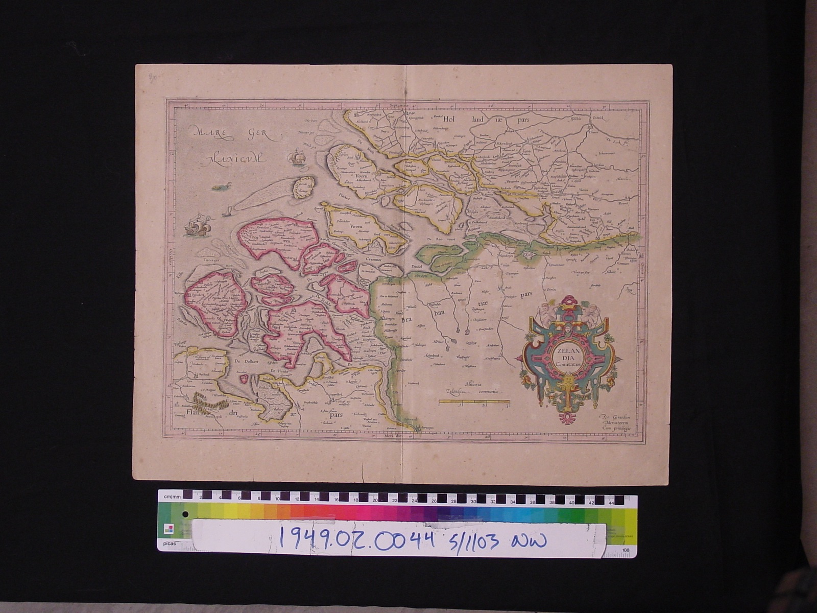
Map: Zelandia
1949.02.0044
Detailed Images
Basic Information
| Artifact Identification | Map: Zelandia (1949.02.0044) |
|---|---|
| Classification/ Nomenclature |
|
| Artist/Maker | Mercator, Gerardus (1512-1594) Illustrator Hondius, Jodocus (1563-1612) Publisher/Illustrator Popelliniere, trans. |
| Geographic Location | |
| Period | N/A |
| Date | 1607-1635 CE |
| Culture | Dutch |
| Location | Not on Exhibit |
Physical Analysis
| Dimension 1 (Width) | 54.6 cm |
|---|---|
| Dimension 2 (Height) | 42.7 cm |
| Dimension 3 (Depth) | <0.1 cm |
| Weight | 29 g |
| Measuring Remarks | N/A |
| Materials | Paper, Pigment--Ink |
| Manufacturing Processes | N/A |
Research Remarks
| Description | N/A |
|---|---|
| Published Description | N/A |
| Bibliography | Thrower, Norman. "J.W. Maps and Civilization: Cartography in Culture and Society." 3rd ed." Chicago: University of Chicago Press, 2008. |
Artifact History
| Credit Line/Dedication | Purchase |
|---|---|
| Reproduction | No |
Contact
All information about our collection is constantly reviewed and updated. Please contact Dery Martínez-Bonilla, Registrar, if there is any information you are looking for that isn't currently online.