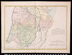
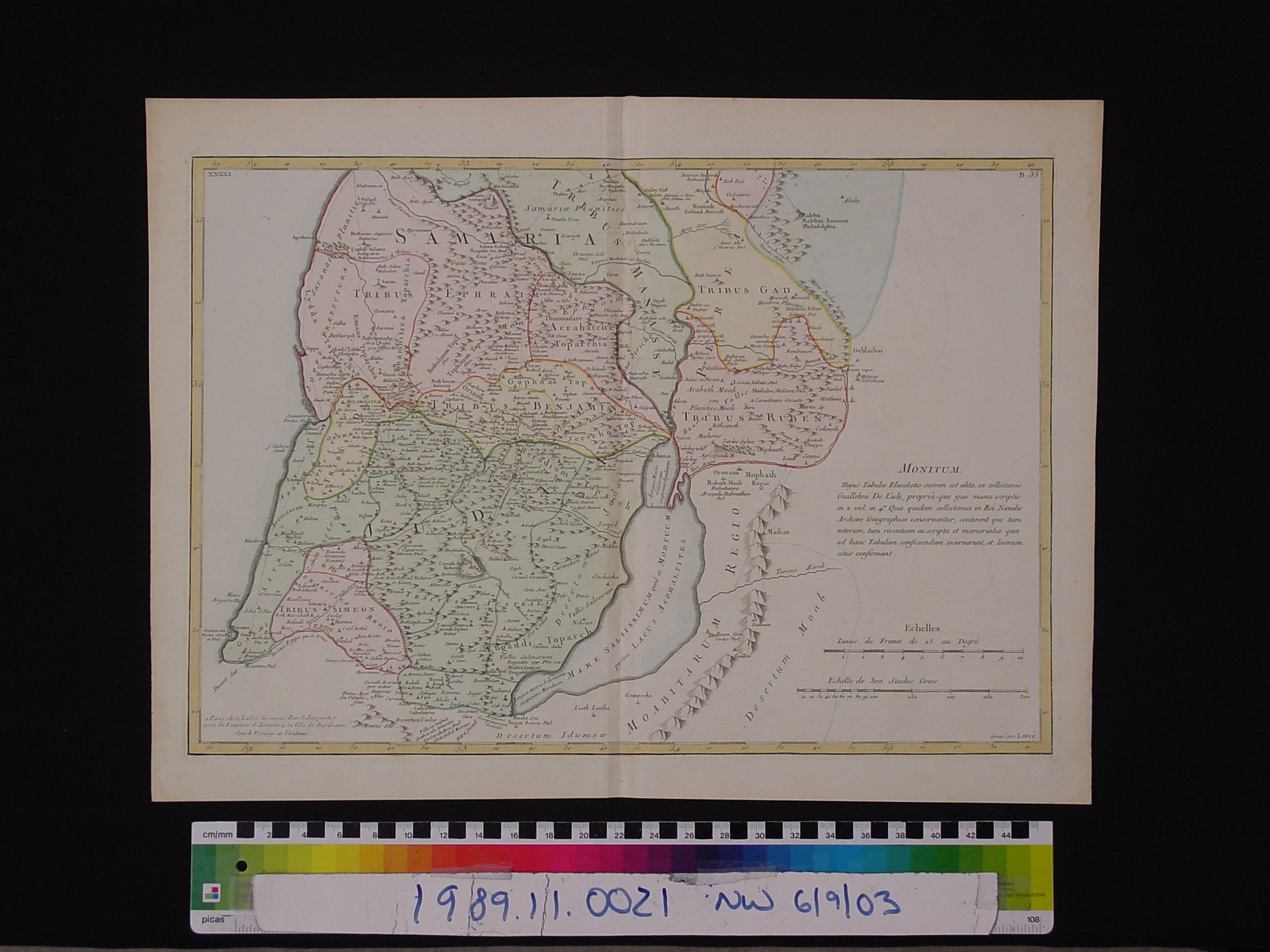
Map: Terra Sancta Tabula e Scripturae Sacrae, Flavii Josephi, Eusebii et Divi Heronymi
1989.11.0021
Detailed Images
Basic Information
| Artifact Identification | Map: Terra Sancta Tabula e Scripturae Sacrae, Flavii Josephi, Eusebii et Divi Heronymi (1989.11.0021) |
|---|---|
| Classification/ Nomenclature |
|
| Artist/Maker | Lattre, Jean: Publisher (active 1743-1793) De L'isle (Brothers Guillaume and Joseph): Engravers Marillier, M. Clement Pierre: Creator of image (original? Cartouche?) (1740-1808) Berthault, Nicolas: engraver (original? cartouche?) d. 1785 |
| Geographic Location | |
| Period | N/A |
| Date | 1782 CE |
| Culture | French |
| Location | Not on Exhibit |
Physical Analysis
| Dimension 1 (Length) | 53.5 cm |
|---|---|
| Dimension 2 (Width) | 39.9 cm |
| Dimension 3 (Depth) | <0.1 cm |
| Weight | 38 g |
| Measuring Remarks | N/A |
| Materials | Paper--rag, Pigment--ink |
| Manufacturing Processes | Printed |
Research Remarks
| Description | N/A |
|---|---|
| Published Description | Under Review |
| Bibliography | Negev, Abraham. Archaeology in the Land of the Bible P. XXIV. New York: Schocken Books, 1977. |
Artifact History
| Credit Line/Dedication | The Seymour and Muriel Yale Collection of Coins of the Ottoman Empire and Other Middle East States |
|---|---|
| Reproduction | No |
Contact
All information about our collection is constantly reviewed and updated. Please contact Dery Martínez-Bonilla, Registrar, if there is any information you are looking for that isn't currently online.